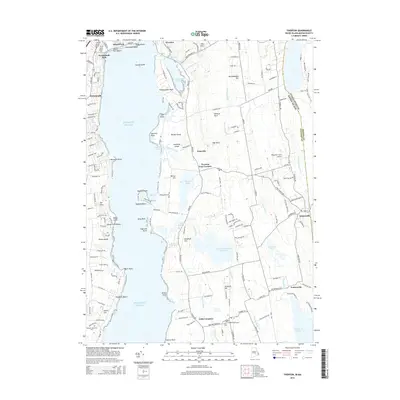
2015 Map of Tiverton
USGS Topo · Published 2015About this map
The Sakonnet River shoreline and the historic village of Little Compton anchor this coastal survey, which documents the southeastern corner of Rhode Island along the Massachusetts border. The landscape is a mix of protected coastal ponds like Nonquit Pond and interior water bodies such as the Harold E Watson Reservoir. Long-established settlements are well-defined, including the historic crossroads of Tiverton Four Corners and the community of Adamsville situated on the border.
Find a feature on this map
76 named features on this map. Tap any name to fly to it.
Don’t see what you’re looking for? This feature index may not catch every label — zoom into the map to look around manually.
Map Details
Editions of this 2015 Tiverton Map
This is the sole edition of this map. No revisions or reprints were ever made.
Other maps of this area

1885 · Sakonnet
USGS Topo · 1:62,500

1888 · Fall River
USGS Topo · 1:62,500

1888 · Sakonnet
USGS Topo · 1:62,500

1889 · Newport
USGS Topo · 1:62,500

1890 · Narragansett Bay
USGS Topo · 1:62,500

1892 · Narragansett Bay
USGS Topo · 1:62,500

1893 · Sakonnet
USGS Topo · 1:62,500

1893 · Fall River
USGS Topo · 1:62,500

1894 · Newport
USGS Topo · 1:62,500

1904 · Newport
USGS Topo · 1:62,500