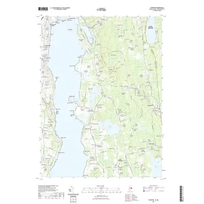
2021 Map of Tiverton
USGS Topo · Published 2021About this map
Coastal Rhode Island and Massachusetts landscapes converge along the Sakonnet River, where this survey records a dense concentration of ancestral burial grounds and colonial-era legacies. The landscape around Little Compton and Adamsville is defined by family landholdings, evidenced by numerous small plots such as the Constant and Susannah Seabury Burying Ground Cem and the Captain Sylvester Woodman Lot Cem. These features, alongside the Quaker Meeting House Burial Ground, reflect the deep genealogical roots of the region.
Find a feature on this map
263 named features on this map. Tap any name to fly to it.
Don’t see what you’re looking for? This feature index may not catch every label — zoom into the map to look around manually.
Map Details
Editions of this 2021 Tiverton Map
This is the sole edition of this map. No revisions or reprints were ever made.
Other maps of this area

1885 · Sakonnet
USGS Topo · 1:62,500

1888 · Fall River
USGS Topo · 1:62,500

1888 · Sakonnet
USGS Topo · 1:62,500

1889 · Newport
USGS Topo · 1:62,500

1890 · Narragansett Bay
USGS Topo · 1:62,500

1892 · Narragansett Bay
USGS Topo · 1:62,500

1893 · Sakonnet
USGS Topo · 1:62,500

1893 · Fall River
USGS Topo · 1:62,500

1894 · Newport
USGS Topo · 1:62,500

1904 · Newport
USGS Topo · 1:62,500