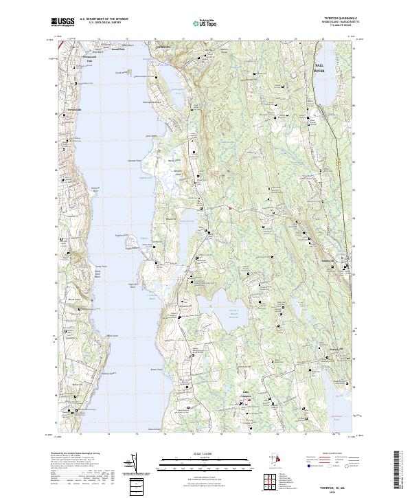
2024 Map of Tiverton
USGS Topo · Published 2024About this map
Coastal Newport County at the Sakonnet River shoreline is defined by a dense network of family burying grounds and early settlements. In Tiverton and Little Compton, the landscape is partitioned by significant water bodies such as Nannaquaket Pond and the Harold E Watson Reservoir, alongside smaller features like Quicksand Pond and Simmons Pond. This modern survey documents centuries of land use, from the agricultural fields near Pottersville to the residential growth of Portsmouth.
Find a feature on this map
252 named features on this map. Tap any name to fly to it.
Don’t see what you’re looking for? This feature index may not catch every label — zoom into the map to look around manually.
Map Details
Editions of this 2024 Tiverton Map
This is the sole edition of this map. No revisions or reprints were ever made.
Other maps of this area

1885 · Sakonnet
USGS Topo · 1:62,500

1888 · Fall River
USGS Topo · 1:62,500

1888 · Sakonnet
USGS Topo · 1:62,500

1889 · Newport
USGS Topo · 1:62,500

1890 · Narragansett Bay
USGS Topo · 1:62,500

1892 · Narragansett Bay
USGS Topo · 1:62,500

1893 · Sakonnet
USGS Topo · 1:62,500

1893 · Fall River
USGS Topo · 1:62,500

1894 · Newport
USGS Topo · 1:62,500

1904 · Newport
USGS Topo · 1:62,500