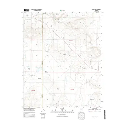
2013 Map of Togeye Lake
USGS Topo · Published 2013About this map
Wild Sheep Mesa and the surrounding high desert terrain define this landscape in the Eastern Navajo Agency during the early 21st century. The map illustrates a complex network of transportation routes serving local communities, including Bond St and several Indian Service Routes that traverse the varied topography. The settlement of Ramah is situated in the northwest, while the hydrology of the area is marked by ephemeral features like Dog Lake and Togeye Lake. These water bodies, along with the broad drainage of Togeye Flats, suggest a landscape where water management and seasonal flow have historically dictated movement and land use. For those studying the geography of western New Mexico, the survey details several named draws such as Crockett Draw and Loma del Medio Draw, which provide critical waypoints across the mesas. The intersection of local road names like Biker Babe Ave with traditional Indian Service Routes reflects the modern evolution of this rural landscape.
Find a feature on this map
32 named features on this map. Tap any name to fly to it.
Don’t see what you’re looking for? This feature index may not catch every label — zoom into the map to look around manually.
Map Details
Editions of this 2013 Togeye Lake Map
This is the sole edition of this map. No revisions or reprints were ever made.
Other maps of this area
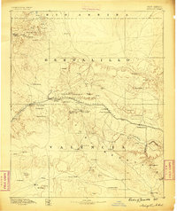
1886 · Wingate
USGS Topo · 1:250,000
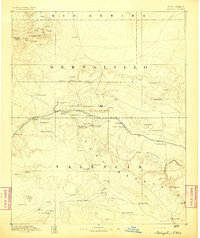
1892 · Wingate
USGS Topo · 1:250,000

1954 · Saint Johns
USGS Topo · 1:250,000

1954 · Gallup
USGS Topo · 1:250,000

1957 · Saint Johns
USGS Topo · 1:250,000
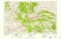
1958 · Gallup
USGS Topo · 1:250,000

1958 · Saint Johns
USGS Topo · 1:250,000
1959 · Gallup
USGS Topo · 1:250,000
1962 · Gallup
USGS Topo · 1:250,000

1962 · Saint Johns
USGS Topo · 1:250,000