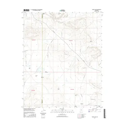
2017 Map of Togeye Lake
USGS Topo · Published 2017About this map
Pinehill stands as the primary hub of activity in this high-desert landscape, situated along the southern edge of the survey area. The terrain is defined by a series of prominent mesas and deep drainages, including Wild Sheep Mesa and the striking rock formations of Los Gigantes. Water, though seasonal, dictates the geography of the region, as evidenced by the basin of Togeye Lake and the Rio Pescado which flows through the central portion of the quadrangle.
Find a feature on this map
46 named features on this map. Tap any name to fly to it.
Don’t see what you’re looking for? This feature index may not catch every label — zoom into the map to look around manually.
Map Details
Editions of this 2017 Togeye Lake Map
This is the sole edition of this map. No revisions or reprints were ever made.
Other maps of this area
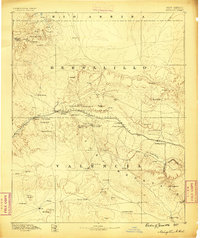
1886 · Wingate
USGS Topo · 1:250,000
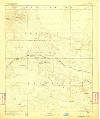
1892 · Wingate
USGS Topo · 1:250,000

1954 · Saint Johns
USGS Topo · 1:250,000

1954 · Gallup
USGS Topo · 1:250,000

1957 · Saint Johns
USGS Topo · 1:250,000
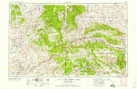
1958 · Gallup
USGS Topo · 1:250,000

1958 · Saint Johns
USGS Topo · 1:250,000
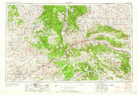
1959 · Gallup
USGS Topo · 1:250,000
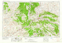
1962 · Gallup
USGS Topo · 1:250,000

1962 · Saint Johns
USGS Topo · 1:250,000