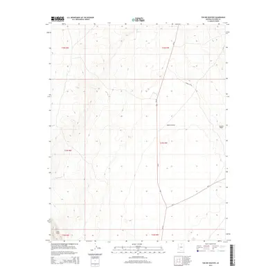
2014 Map of Toh Bih Nosteny
USGS Topo · Published 2014About this map
Toh Bih Nosteny anchors this section of Coconino County, situated within a high-elevation landscape defined by significant geologic formations. The Kaibito Plateau dominates the central and eastern portions of the map, providing a broad elevated surface that contrasts with the prominent western escarpment of the Echo Cliffs. This territory is marked by the presence of livestock-related infrastructure, most notably the Windmill Corral, which highlights the enduring pastoral use of the land.
Find a feature on this map
13 named features on this map. Tap any name to fly to it.
Don’t see what you’re looking for? This feature index may not catch every label — zoom into the map to look around manually.
Map Details
Editions of this 2014 Toh Bih Nosteny Map
This is the sole edition of this map. No revisions or reprints were ever made.
Other maps of this area
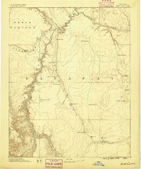
1886 · Echo Cliffs
USGS Topo · 1:250,000
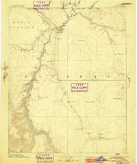
1891 · Echo Cliffs
USGS Topo · 1:250,000
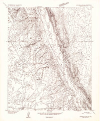
1954 · Shinumo Altar NE
USGS Topo · 1:24,000
1954 · Shinumo Altar SE
USGS Topo · 1:24,000
1954 · Tanner Wash
USGS Topo · 1:62,500
1954 · Shinumo Altar
USGS Topo · 1:62,500

1956 · Marble Canyon
USGS Topo · 1:250,000
1957 · The Gap SW
USGS Topo · 1:24,000

1959 · Marble Canyon
USGS Topo · 1:250,000

1961 · Marble Canyon
USGS Topo · 1:250,000