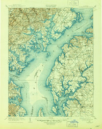
1908 Map of Tolchester
USGS Topo · Published 1944About this map
Chesapeake Bay dominates this early twentieth-century survey, revealing a landscape defined by its intricate shoreline and maritime infrastructure. Along the Eastern Shore, settlements like Chestertown and Betterton serve as focal points for the rural districts of Kent County, while the western side shows the developing rail corridors of the Philadelphia Baltimore and Washington RR and the Baltimore and Ohio RR. The map captures a moment when water-based travel and recreation were vital to the region, highlighted by the prominent position of Tolchester Beach and numerous landing points like Harris Wharf. Defensive and navigational aids are meticulously recorded, including the fortifications at Fort Smallwood and the critical Craighill Channel and Brewerton Channel leading toward Baltimore. Inland, the distribution of country churches such as St Johns Ch and small depots like Long Green Sta provides a clear view of the social and economic nodes that supported the surrounding agricultural communities.
Find a feature on this map
215 named features on this map. Tap any name to fly to it.
Don’t see what you’re looking for? This feature index may not catch every label — zoom into the map to look around manually.
Map Details
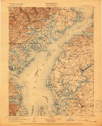
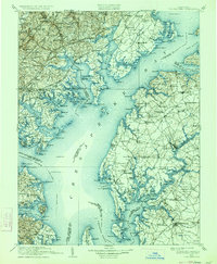
Editions of this 1908 Tolchester Map
4 editions found

Other maps of this area

1892 · Owensville
USGS Topo · 1:62,500

1892 · Annapolis
USGS Topo · 1:62,500

1893 · North Point
USGS Topo · 1:62,500

1893 · Gunpowder
USGS Topo · 1:62,500

1894 · Baltimore
USGS Topo · 1:62,500

1894 · Relay
USGS Topo · 1:62,500

1895 · Owensville
USGS Topo · 1:62,500

1898 · Choptank
USGS Topo · 1:125,000

1898 · Elkton
USGS Topo · 1:62,500

1898 · Tolchester
USGS Topo · 1:125,000