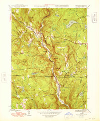
1948 Map of Tolland
USGS Topo · Published 1948About this map
The West Branch Farmington River carves a deep valley through this 1948 survey of the Massachusetts and Connecticut borderlands. Concentrated settlement patterns follow the river and its tributaries, notably at New Boston, West New Boston, and the cluster at Roosterville. To the east, Tolland Center sits on higher ground, serving as a focal point for a network of rural roads like Belden Road and Schoolhouse Road.
Find a feature on this map
62 named features on this map. Tap any name to fly to it.
Don’t see what you’re looking for? This feature index may not catch every label — zoom into the map to look around manually.
Map Details
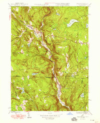
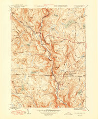
Editions of this 1948 Tolland Map
3 editions found
Other maps of this area

1887 · Granville
USGS Topo · 1:62,500

1888 · Sandisfield
USGS Topo · 1:62,500

1889 · Granville
USGS Topo · 1:62,500

1892 · Winsted
USGS Topo · 1:62,500

1892 · Granby
USGS Topo · 1:62,500

1893 · Granville
USGS Topo · 1:62,500

1893 · Sandisfield
USGS Topo · 1:62,500

1895 · Granville
USGS Topo · 1:62,500

1896 · Holyoke
USGS Topo · 1:125,000

1897 · Sandisfield
USGS Topo · 1:62,500