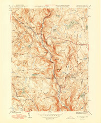
1948 Map of Tolland
USGS Topo · Published 1948About this map
West Branch Farmington River carves a deep valley through this 1948 survey of the Massachusetts and Connecticut borderlands. The landscape is defined by its numerous glacial water bodies, from the substantial Noyes Pond in the northeast to the smaller Simons Pond and Pinehurst Lake further south. Small industrial and residential clusters like New Boston and West New Boston sit at key river crossings, while Roosterville and Mcclayville represent the scattered hamlets that once supported the region's rural economy.
Find a feature on this map
73 named features on this map. Tap any name to fly to it.
Don’t see what you’re looking for? This feature index may not catch every label — zoom into the map to look around manually.
Map Details
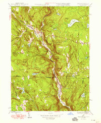
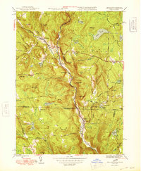
Editions of this 1948 Tolland Map
3 editions found
Other maps of this area

1887 · Granville
USGS Topo · 1:62,500

1888 · Sandisfield
USGS Topo · 1:62,500

1889 · Granville
USGS Topo · 1:62,500

1892 · Winsted
USGS Topo · 1:62,500

1892 · Granby
USGS Topo · 1:62,500

1893 · Granville
USGS Topo · 1:62,500

1893 · Sandisfield
USGS Topo · 1:62,500

1895 · Granville
USGS Topo · 1:62,500

1896 · Holyoke
USGS Topo · 1:125,000

1897 · Sandisfield
USGS Topo · 1:62,500