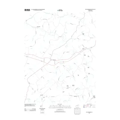
2013 Map of Tollesboro
USGS Topo · Published 2013About this map
Tollesboro sits at the center of this rural landscape, serving as a hub for a network of winding country roads such as Cabin Creek Rd and Poplar Flat Rd. The terrain is defined by a dense system of hollows and ridges, including Happy Hollow and May Hollow, which drain into several branches of Cabin Creek. To the south, the topography rises toward Eskalapia Mountain and Peach Orchard Hill, where Flat Gap provides a passage between the higher elevations.
Find a feature on this map
92 named features on this map. Tap any name to fly to it.
Don’t see what you’re looking for? This feature index may not catch every label — zoom into the map to look around manually.
Map Details
Editions of this 2013 Tollesboro Map
This is the sole edition of this map. No revisions or reprints were ever made.
Other maps of this area

1919 · Vanceburg
USGS Topo · 1:62,500

1929 · Springdale
USGS Topo · 1:48,000

1935 · Springdale
USGS Topo · 1:62,500

1949 · Vanceburg
USGS Topo · 1:62,500

1949 · Concord
USGS Topo · 1:24,000

1949 · Charters
USGS Topo · 1:24,000

1950 · Charters
USGS Topo · 1:24,000
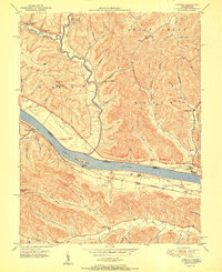
1951 · Concord
USGS Topo · 1:24,000

1951 · Stricklett
USGS Topo · 1:24,000

1951 · Burtonville
USGS Topo · 1:24,000