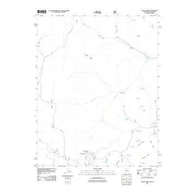
2011 Map of Toltec Mesa
USGS Topo · Published 2011About this map
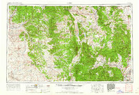
Rio de los Pinos carves a deep path through the northern reaches of this high-elevation landscape, defining the dramatic topography of Toltec Gorge and the adjacent Toltec Canyon. This 2011 survey reveals a territory primarily shaped by seasonal water management and recreational access, centered around the Toltec Mesa and the western slopes of Brazos Ridge. The presence of the Nelaganey Ranch suggests a continued history of high-country ranching, while the remote Upper Lagunitas Campground and Lower Lagunitas Campground mark established points for wilderness exploration.
Find a feature on this map
39 named features on this map. Tap any name to fly to it.
Don’t see what you’re looking for? This feature index may not catch every label — zoom into the map to look around manually.
Map Details
Editions of this 2011 Toltec Mesa Map
This is the sole edition of this map. No revisions or reprints were ever made.
Other maps of this area
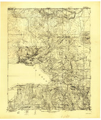
1918 · Tusas
USGS Topo · 1:125,000
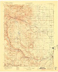
1922 · Conejos
USGS Topo · 1:125,000

1945 · Durango
USGS Topo · 1:250,000
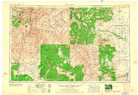
1953 · Durango
USGS Topo · 1:250,000
1954 · Durango
USGS Topo · 1:250,000

1954 · Aztec
USGS Topo · 1:250,000
1955 · Brazos Peak
USGS Topo · 1:62,500
1958 · Aztec
USGS Topo · 1:250,000
1961 · Durango
USGS Topo · 1:250,000
1962 · Aztec
USGS Topo · 1:250,000