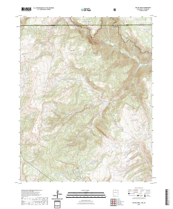
2023 Map of Toltec Mesa
USGS Topo · Published 2023About this map
Toltec Mesa dominates this high-altitude landscape along the border of New Mexico and Colorado, situated within the vast protected lands of the Carson National Forest and the Cruces Basin Wilderness. The map reveals a dramatic topography defined by the Rio de los Pinos and the sheer walls of Toltec Gorge. This area represents a critical corridor for backcountry travel, featuring the Continental Divide National Scenic Trl as it winds along Brazos Ridge.
Find a feature on this map
46 named features on this map. Tap any name to fly to it.
Don’t see what you’re looking for? This feature index may not catch every label — zoom into the map to look around manually.
Map Details
Editions of this 2023 Toltec Mesa Map
This is the sole edition of this map. No revisions or reprints were ever made.
Other maps of this area

1918 · Tusas
USGS Topo · 1:125,000

1922 · Conejos
USGS Topo · 1:125,000

1945 · Durango
USGS Topo · 1:250,000

1953 · Durango
USGS Topo · 1:250,000

1954 · Durango
USGS Topo · 1:250,000

1954 · Aztec
USGS Topo · 1:250,000

1955 · Brazos Peak
USGS Topo · 1:62,500

1958 · Aztec
USGS Topo · 1:250,000

1961 · Durango
USGS Topo · 1:250,000

1962 · Aztec
USGS Topo · 1:250,000