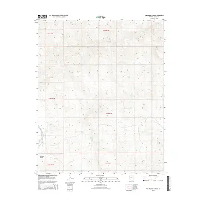
2014 Map of Tom Brown Canyon
USGS Topo · Published 2014About this map
Tom Brown Canyon and the surrounding high desert of Mohave County are defined by a critical network of water sources in a landscape of dramatic vertical relief. This 2014 survey documents a series of named springs that have likely served as vital landmarks for generations, including Indian Cradle Spring, Buckley Tunnel Spring, and Blue Mary Spring. These points of reliable water, tucked into drainages like Divide Canyon, are the primary focal points of human activity and survival in the arid terrain south of Trout Cr.
Find a feature on this map
22 named features on this map. Tap any name to fly to it.
Don’t see what you’re looking for? This feature index may not catch every label — zoom into the map to look around manually.
Map Details
Editions of this 2014 Tom Brown Canyon Map
This is the sole edition of this map. No revisions or reprints were ever made.
Other maps of this area

1886 · Diamond Creek
USGS Topo · 1:250,000

1892 · Diamond Creek
USGS Topo · 1:250,000

1923 · Signal
USGS Topo · 1:250,000

1942 · Signal
USGS Topo · 1:250,000

1948 · Williams
USGS Topo · 1:250,000

1950 · Prescott
USGS Topo · 1:250,000

1954 · Prescott
USGS Topo · 1:250,000

1954 · Williams
USGS Topo · 1:250,000

1956 · Williams
USGS Topo · 1:250,000

1958 · Prescott
USGS Topo · 1:250,000