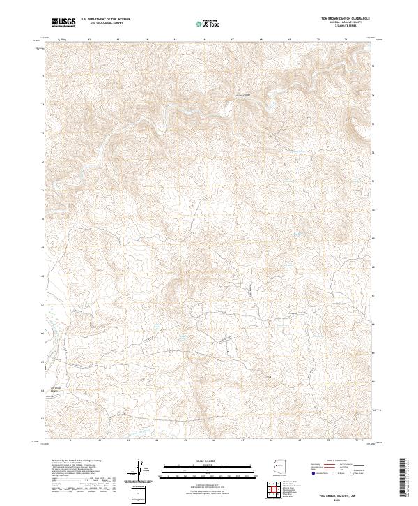
2021 Map of Tom Brown Canyon
USGS Topo · Published 2021About this map
Tom Brown Canyon and Divide Canyon define this section of Mohave County, where the high desert landscape is etched by a complex network of seasonal drainages and isolated springs. The western edge of the quadrangle is marked by the Big Sandy River, while Pearson Falls Wash and Trout Cr drain the central and southern reaches. The distribution of water sources, such as Buckley Tunnel Spring, Indian Grade Spring, and Blue Mary Spring, suggests the critical importance of reliable hydration points in this arid environment.
Find a feature on this map
28 named features on this map. Tap any name to fly to it.
Don’t see what you’re looking for? This feature index may not catch every label — zoom into the map to look around manually.
Map Details
Editions of this 2021 Tom Brown Canyon Map
This is the sole edition of this map. No revisions or reprints were ever made.
Other maps of this area

1886 · Diamond Creek
USGS Topo · 1:250,000

1892 · Diamond Creek
USGS Topo · 1:250,000

1923 · Signal
USGS Topo · 1:250,000

1942 · Signal
USGS Topo · 1:250,000

1948 · Williams
USGS Topo · 1:250,000

1950 · Prescott
USGS Topo · 1:250,000

1954 · Prescott
USGS Topo · 1:250,000

1954 · Williams
USGS Topo · 1:250,000

1956 · Williams
USGS Topo · 1:250,000

1958 · Prescott
USGS Topo · 1:250,000