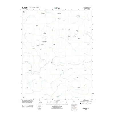
2012 Map of Tombs Creek
USGS Topo · Published 2012About this map
The Wheatfield Fork Gualala River snakes through the northwestern portion of this Sonoma County terrain, carving a landscape defined by an intricate network of ridgelines and creek drainages. Private landholdings and agricultural history are prominent, with legacy properties such as Wickersham Ranch, Dickson Ranch, and Hedgpeth Ranch marking the hillsides. The name Quicksilver Flat suggests a history of mineral exploration in the area, while features like Johnny Brown Springs and Staley Spring highlight the essential water sources for these upland settlements. To the east, the settlement of Las Lomas sits near Walbridge Ridge, illustrating the scattered nature of rural habitation in this portion of the Coast Ranges. From Deadman Cliff in the north to the southern waters of Hedgpeth Lake, the map documents a region where ranching and local topography dictate the pace of human activity.
Find a feature on this map
76 named features on this map. Tap any name to fly to it.
Don’t see what you’re looking for? This feature index may not catch every label — zoom into the map to look around manually.
Map Details
Editions of this 2012 Tombs Creek Map
This is the sole edition of this map. No revisions or reprints were ever made.
Other maps of this area

1921 · Skaggs
USGS Topo · 1:62,500

1921 · Plantation
USGS Topo · 1:62,500

1938 · Hopland
USGS Topo · 1:62,500

1943 · Tombs Creek
USGS Topo · 1:24,000

1943 · Plantation
USGS Topo · 1:24,000

1943 · Cazadero
USGS Topo · 1:24,000

1943 · Annapolis
USGS Topo · 1:24,000

1943 · Skaggs Springs
USGS Topo · 1:24,000

1943 · Fort Ross
USGS Topo · 1:24,000

1943 · Hopland
USGS Topo · 1:62,500