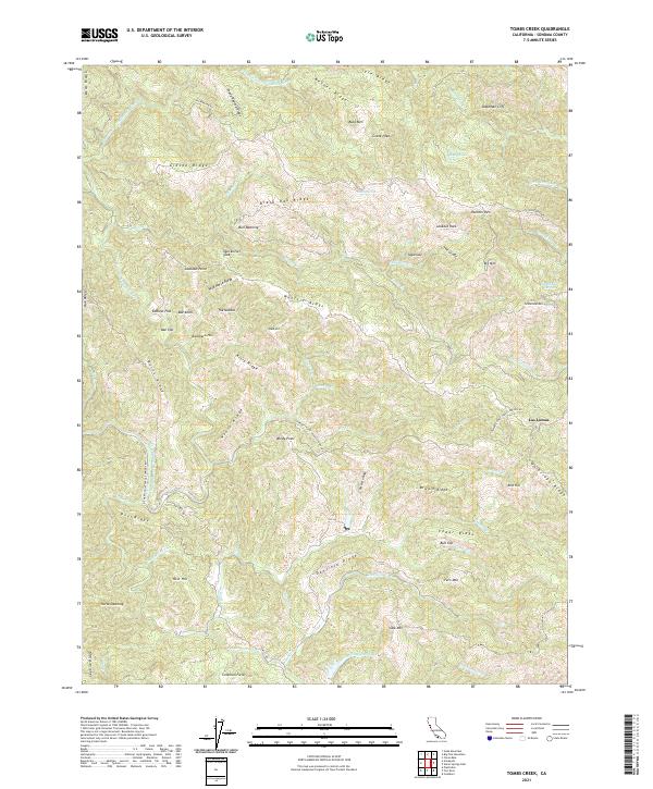
2021 Map of Tombs Creek
USGS Topo · Published 2021About this map
The Wheatfield Fork Gualala River defines the western reaches of this landscape, a region of Sonoma County dominated by a complex network of ridgelines and water sources. Named ridges like Black Oak Ridge, Kitty Ridge, and Gibson Ridge create a corrugated terrain that influenced early settlement and land use. The presence of Quicksilver Flat suggests a history of mineral exploration, while named clearings such as Bull Opening and Eddicut Flat indicate pockets of human activity amidst the dense topography.
Find a feature on this map
78 named features on this map. Tap any name to fly to it.
Don’t see what you’re looking for? This feature index may not catch every label — zoom into the map to look around manually.
Map Details
Editions of this 2021 Tombs Creek Map
This is the sole edition of this map. No revisions or reprints were ever made.
Other maps of this area

1921 · Skaggs
USGS Topo · 1:62,500

1921 · Plantation
USGS Topo · 1:62,500

1938 · Hopland
USGS Topo · 1:62,500

1943 · Tombs Creek
USGS Topo · 1:24,000

1943 · Plantation
USGS Topo · 1:24,000

1943 · Cazadero
USGS Topo · 1:24,000

1943 · Annapolis
USGS Topo · 1:24,000

1943 · Skaggs Springs
USGS Topo · 1:24,000

1943 · Fort Ross
USGS Topo · 1:24,000

1943 · Hopland
USGS Topo · 1:62,500