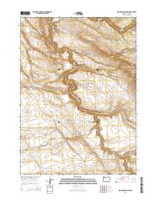
2014 Map of Tombstone Canyon
USGS Topo · Published 2014About this map
Donner und Blitzen River carves a dramatic path through this section of Harney County, illustrating the remote and hydrological character of the Oregon high desert. This 2014 survey captures a landscape defined by sharp elevation changes and seasonal water sources, where the river's course is the primary geographical anchor. The presence of Big Spring at the head of a drainage highlights the critical nature of perennial water points in this arid environment. Given the sparse settlement shown on this modern topographic record, the map focuses on the complex drainage patterns and relief that dictate land use and environmental management in the southeastern corner of the state.
Find a feature on this map
2 named features on this map. Tap any name to fly to it.
Don’t see what you’re looking for? This feature index may not catch every label — zoom into the map to look around manually.
Map Details
Editions of this 2014 Tombstone Canyon Map
This is the sole edition of this map. No revisions or reprints were ever made.
Other maps of this area

1955 · Adel
USGS Topo · 1:250,000

1957 · Adel
USGS Topo · 1:250,000

1958 · Adel
USGS Topo · 1:250,000

1962 · Adel
USGS Topo · 1:250,000

1967 · Roaring Springs
USGS Topo · 1:24,000

1967 · Frenchglen
USGS Topo · 1:24,000

1967 · Page Springs
USGS Topo · 1:24,000

1968 · Tombstone Canyon
USGS Topo · 1:24,000

1968 · Fish Lake
USGS Topo · 1:24,000

1968 · Roaring Springs SE
USGS Topo · 1:24,000