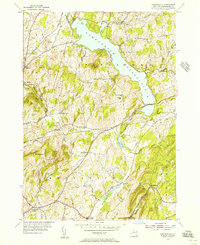
1954 Map of Tomhannock
USGS Topo · Published 1956About this map
Tomhannock Reservoir dominates the landscape of north-central Rensselaer County, its sprawling waters fed by Otter Creek and Tomhannock Creek. In the mid-1950s, this area reflects a rural economy transitioning around the massive water utility, with numerous small settlements and family-named landmarks remaining. To the west, the Boston and Maine railroad tracks cut through the hills near Melrose, while higher elevations like Mt Rafinesque and Rice Mtn provide the backdrop for scattered agricultural communities.
Find a feature on this map
39 named features on this map. Tap any name to fly to it.
Don’t see what you’re looking for? This feature index may not catch every label — zoom into the map to look around manually.
Map Details
Editions of this 1954 Tomhannock Map
2 editions found
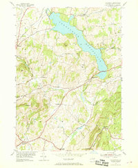
Other maps of this area

1888 · Berlin
USGS Topo · 1:62,500

1890 · Berlin
USGS Topo · 1:62,500

1893 · Cohoes
USGS Topo · 1:62,500

1893 · Troy
USGS Topo · 1:62,500

1894 · Berlin
USGS Topo · 1:62,500

1895 · Troy
USGS Topo · 1:62,500

1895 · Cohoes
USGS Topo · 1:62,500

1897 · Hoosick
USGS Topo · 1:62,500

1898 · Berlin
USGS Topo · 1:62,500

1898 · Cohoes
USGS Topo · 1:62,500