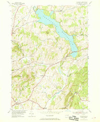
1954 Map of Tomhannock
USGS Topo · Published 1968About this map
Tomhannock Reservoir dominates the landscape of Pittstown and Brunswick in this mid-century survey of Rensselaer County. The map documents the rural character of the region just as suburban expansion began to touch towns like Brunswick Center and Melrose. The sprawling water body, fed by Tomhannock Creek and Otter Creek, is surrounded by numerous family-named landmarks and small nineteenth-century hamlets such as Raymertown and Haynersville.
Find a feature on this map
44 named features on this map. Tap any name to fly to it.
Don’t see what you’re looking for? This feature index may not catch every label — zoom into the map to look around manually.
Map Details
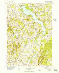
Editions of this 1954 Tomhannock Map
2 editions found
Other maps of this area

1888 · Berlin
USGS Topo · 1:62,500

1890 · Berlin
USGS Topo · 1:62,500

1893 · Cohoes
USGS Topo · 1:62,500

1893 · Troy
USGS Topo · 1:62,500

1894 · Berlin
USGS Topo · 1:62,500

1895 · Troy
USGS Topo · 1:62,500

1895 · Cohoes
USGS Topo · 1:62,500

1897 · Hoosick
USGS Topo · 1:62,500

1898 · Berlin
USGS Topo · 1:62,500

1898 · Cohoes
USGS Topo · 1:62,500