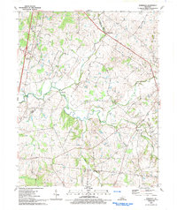
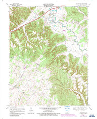
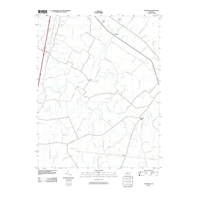
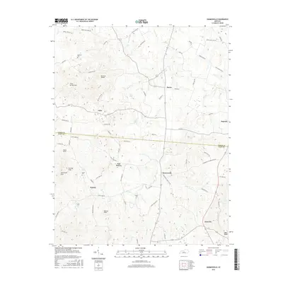
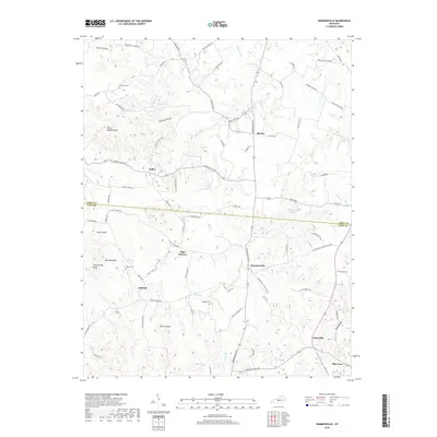
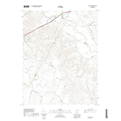
1992 Map of Tonieville
USGS Topo · Published 1992About this map
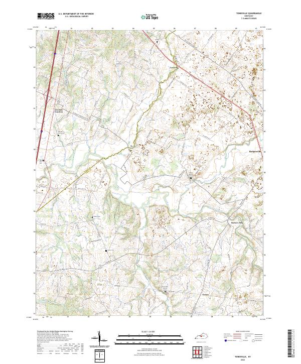
The winding Nolin River anchors this landscape along the Hardin and LaRue County line during the early 1990s. This region is characterized by a network of rural settlements and milling sites, such as Eagle Mills and Mathers Mill, linked by local routes like Old Tonieville Road and the Lincoln Parkway. The agricultural character of the area is evident in the numerous family and community landmarks, including Siberia Ch and its associated Siberia Cem, as well as First Union Ch to the north. Transportation history is marked by the presence of the Old L & N RR corridor passing through Glendale Junction. Small creek systems, including Barren Run and Middle Creek, carve through the terrain, supporting the scattered farmsteads and rural crossroads like Tanner and Tonieville that define this central Kentucky district.
Find a feature on this map
37 named features on this map. Tap any name to fly to it.
Don’t see what you’re looking for? This feature index may not catch every label — zoom into the map to look around manually.
Map Details
Editions of this 1992 Tonieville Map
This is the sole edition of this map. No revisions or reprints were ever made.
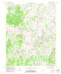
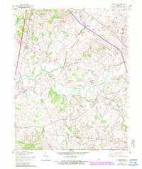
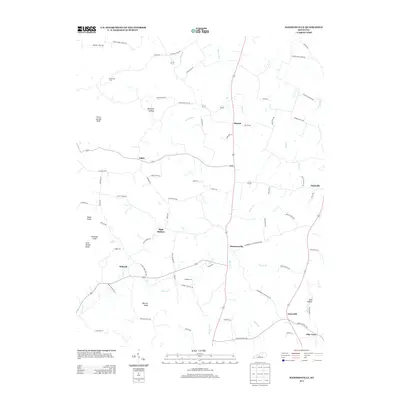
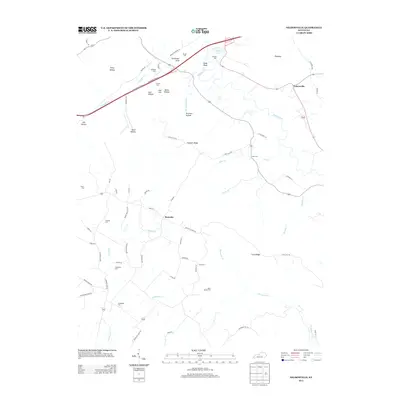
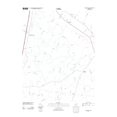
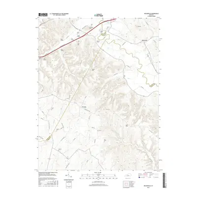
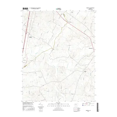
Historical Maps of Hodgenville Through Time
22 maps found
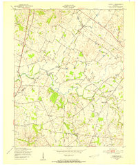
1949 Tonieville
Larue County, KY

1953 Nelsonville
Larue County, KY
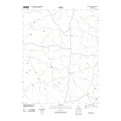
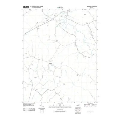
1954 Hammonville
Larue County, KY
1960 Tonieville
Larue County, KY
1967 Nelsonville
Larue County, KY
1979 Tonieville
Larue County, KY
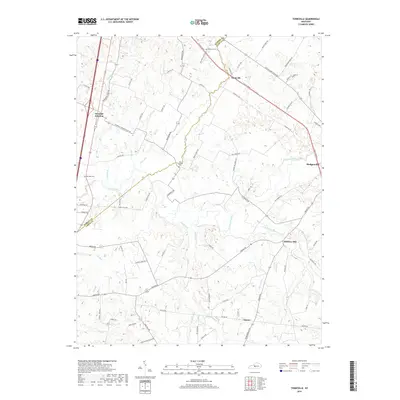
1992 Tonieville
Larue County, KY
2010 Hammonville
Larue County, KY
2010 Nelsonville
Larue County, KY
2010 Tonieville
Larue County, KY
2013 Hammonville
Larue County, KY
2013 Nelsonville
Larue County, KY
2013 Tonieville
Larue County, KY
2016 Hammonville
Larue County, KY
2016 Nelsonville
Larue County, KY
2016 Tonieville
Larue County, KY
2019 Hammonville
Larue County, KY
2019 Nelsonville
Larue County, KY
2019 Tonieville
Larue County, KY
2022 Hammonville
Larue County, KY
2022 Nelsonville
Larue County, KY
2022 Tonieville
Larue County, KY