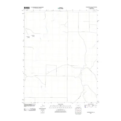
2010 Map of Toonerville NE
USGS Topo · Published 2010About this map
Poor Mans Ditch winds through this high plains landscape of eastern Colorado, reflecting the essential role of water management in a region defined by agricultural utility. The terrain is marked by ephemeral waterways like Rule Creek and Caddoa Creek, which cut across the grid of county roads. Infrastructure for water control is prominent in the northwest, where the Crooked Arroyo Detention CA-3 Dam and Crooked Arroyo Detention CA-4 Dam manage runoff across the dry arroyos. This 2010 survey shows a sparse, rural network of sections and township lines, where the land is primarily organized by its drainage basins, such as Hood Draw, and an extensive system of rectangular county routes including County Road BB and County Road 19.
Find a feature on this map
19 named features on this map. Tap any name to fly to it.
Don’t see what you’re looking for? This feature index may not catch every label — zoom into the map to look around manually.
Map Details
Editions of this 2010 Toonerville NE Map
This is the sole edition of this map. No revisions or reprints were ever made.
Other maps of this area

1891 · Higbee
USGS Topo · 1:125,000

1891 · Las Animas
USGS Topo · 1:125,000

1892 · Lamar
USGS Topo · 1:125,000

1892 · Two Butte
USGS Topo · 1:125,000

1893 · Higbee
USGS Topo · 1:125,000

1893 · Two Butte
USGS Topo · 1:125,000

1893 · Las Animas
USGS Topo · 1:125,000

1953 · Hasty
USGS Topo · 1:24,000

1953 · Las Animas
USGS Topo · 1:24,000

1953 · Kreybill
USGS Topo · 1:24,000