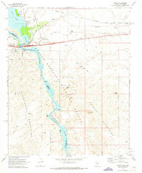
1970 Map of Topock
USGS Topo · Published 1973About this map
The Colorado River carves a striking path through the desert on this 1970s topographic survey, marking the jagged boundary between Arizona and California. The settlement of Topock serves as a critical infrastructure hub where the Atchison Topeka and Santa Fe railroad and highways cross the water at the Red Rock Bridge. To the south, the river enters the dramatic Topock Gorge, passing through The Needles and the Havasu National Wildlife Refuge.
Find a feature on this map
43 named features on this map. Tap any name to fly to it.
Don’t see what you’re looking for? This feature index may not catch every label — zoom into the map to look around manually.
Map Details
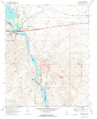
Editions of this 1970 Topock Map
2 editions found
Other maps of this area

1903 · Needles
USGS Topo · 1:125,000

1904 · Needles Special
USGS Topo · 1:125,000

1943 · Topock
USGS Topo · 1:62,500

1950 · Topock
USGS Topo · 1:62,500

1950 · Sawtooth Range
USGS Topo · 1:62,500

1950 · Needles
USGS Topo · 1:62,500

1951 · Topock
USGS Topo · 1:62,500

1951 · Sawtooth Range
USGS Topo · 1:62,500

1952 · Needles
USGS Topo · 1:62,500

1954 · Needles
USGS Topo · 1:250,000