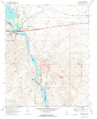
1970 Map of Topock
USGS Topo · Published 1973About this map
Topock sits at a critical transit junction where the Atchison Topeka and Santa Fe railroad and highway infrastructure bridge the Colorado River at the Arizona-California border. This 1970s landscape is defined by the protected wetlands of the Havasu National Wildlife Refuge, including the Topock Marsh and the dramatic basalt formations of the Topock Gorge. Away from the river, the arid terrain of the Mohave Mountains and Chemehuevi Mountains reveals a history of desert extraction at the Jackpot Mine and Gold Dame Mine. The presence of the Ft Mojave Indian Res and specialized river features like the Gaging Station and Messuring Station indicate the vital importance of water management and indigenous land rights in this Mojave Desert corridor.
Find a feature on this map
38 named features on this map. Tap any name to fly to it.
Don’t see what you’re looking for? This feature index may not catch every label — zoom into the map to look around manually.
Map Details
Editions of this 1970 Topock Map
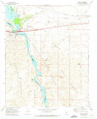
2 editions found
Other maps of this area

1903 · Needles
USGS Topo · 1:125,000

1904 · Needles Special
USGS Topo · 1:125,000

1943 · Topock
USGS Topo · 1:62,500

1950 · Topock
USGS Topo · 1:62,500

1950 · Sawtooth Range
USGS Topo · 1:62,500

1950 · Needles
USGS Topo · 1:62,500

1951 · Topock
USGS Topo · 1:62,500

1951 · Sawtooth Range
USGS Topo · 1:62,500

1952 · Needles
USGS Topo · 1:62,500

1954 · Needles
USGS Topo · 1:250,000