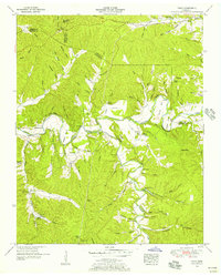
1951 Map of Topsy
USGS Topo · Published 1956About this map
The Buffalo River snakes through the center of this Tennessee landscape, its sharp bends and bluffs defining the early 1950s geography of the region. The settlement of Topsy sits south of the river, supported by the Topsy Sch and nearby religious centers like Salem Church. The map reveals a community deeply rooted in its local landscape, with numerous family-named cemeteries such as Durham Cem, Choate Cem, and Whitehead Cem scattered across the ridges.
Find a feature on this map
59 named features on this map. Tap any name to fly to it.
Don’t see what you’re looking for? This feature index may not catch every label — zoom into the map to look around manually.
Map Details
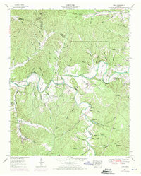
Editions of this 1951 Topsy Map
2 editions found
Other maps of this area

1905 · Waynesboro
USGS Topo · 1:125,000

1936 · Riverside
USGS Topo · 1:24,000

1936 · Graves Spring
USGS Topo · 1:24,000

1936 · Linden
USGS Topo · 1:24,000

1936 · Leatherwood
USGS Topo · 1:24,000

1936 · Negro Hollow
USGS Topo · 1:24,000

1936 · Kimmins
USGS Topo · 1:24,000

1936 · Waynesboro
USGS Topo · 1:24,000

1936 · Topsy
USGS Topo · 1:24,000

1936 · Ovilla
USGS Topo · 1:24,000