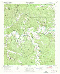
1951 Map of Topsy
USGS Topo · Published 1971About this map
The Buffalo River winds through this rural landscape of Wayne, Perry, and Lewis Counties, dictating the settlement patterns and travel routes of the mid-20th century. Near the central crossing at Slickrock Ford, the small community of Topsy sits surrounded by family-named landmarks and historical burial grounds. The map reveals a deeply etched topography of ridges and hollows, where life centered around landmarks like Salem Church and the high ground of Pea Ridge.
Find a feature on this map
57 named features on this map. Tap any name to fly to it.
Don’t see what you’re looking for? This feature index may not catch every label — zoom into the map to look around manually.
Map Details
Editions of this 1951 Topsy Map
2 editions found
Other maps of this area

1905 · Waynesboro
USGS Topo · 1:125,000

1936 · Riverside
USGS Topo · 1:24,000

1936 · Graves Spring
USGS Topo · 1:24,000

1936 · Linden
USGS Topo · 1:24,000

1936 · Leatherwood
USGS Topo · 1:24,000

1936 · Negro Hollow
USGS Topo · 1:24,000

1936 · Kimmins
USGS Topo · 1:24,000

1936 · Waynesboro
USGS Topo · 1:24,000

1936 · Topsy
USGS Topo · 1:24,000

1936 · Ovilla
USGS Topo · 1:24,000