2023 Map of Topton
USGS Topo · Published 2023About this map
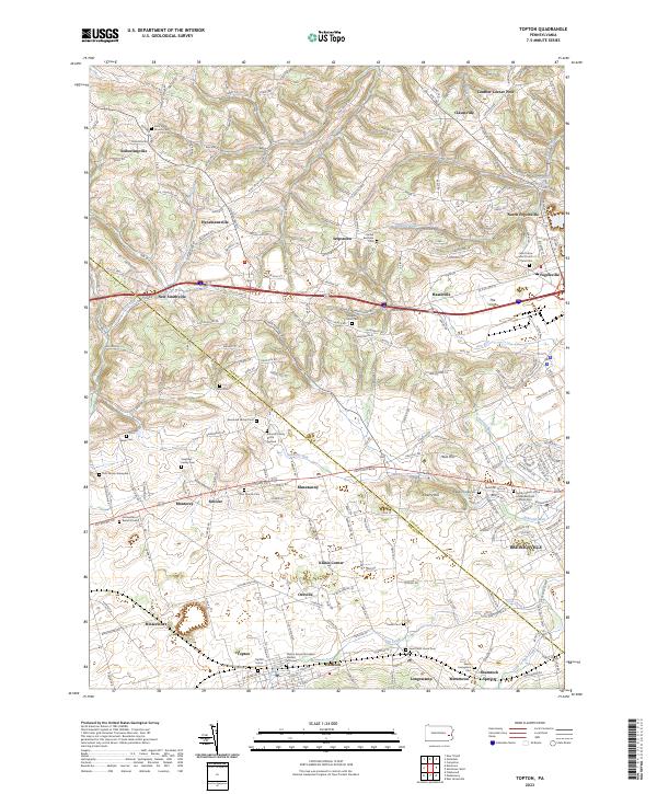
Topton and Breinigsville anchor this modern topographic survey of the Lehigh-Berks county line, capturing a landscape deeply rooted in Pennsylvania German heritage and family history. The mapping reveals a dense network of private burial grounds and church yards, including the Schmidt Family Burial Ground, Sassaman Family Cem, and the Kutz Family Graveyard near Monterey. These sites, alongside larger congregational markers like Ziegels Union Church, provide an invaluable spatial index for genealogists tracing ancestral homesteads in Maxatawny and Longswamp.
Find a feature on this map
237 named features on this map. Tap any name to fly to it.
Don’t see what you’re looking for? This feature index may not catch every label — zoom into the map to look around manually.
Map Details
Editions of this 2023 Topton Map
This is the sole edition of this map. No revisions or reprints were ever made.
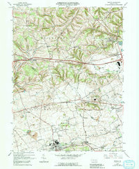
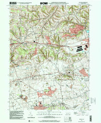
Historical Maps of Klines Corner Through Time
Featured Locations
- Longswamp Township, PA
- Maxatawny Township, PA
- Topton, PA
- Weisenberg Township, PA
- Hancock, Longswamp Township