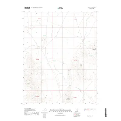
2018 Map of Toquop Gap
USGS Topo · Published 2018About this map
Toquop Gap serves as the central pass through this arid landscape in Lincoln County, Nevada. The terrain is characterized by the expansive Tule Desert and complex drainage systems that feed into the Toquop Wash, Garden Wash, and Sams Camp Wash. This survey highlights the region's scarce water resources, marking critical points such as Summit Spring and the Tule Desert Reservoir. These features suggest a history of managing water for range livestock in a region defined by its isolation. Surrounding the desert flats are several prominent ranges, including the Mormon Mountains to the west and the East Mormon Mountains to the south. To the east, the topography becomes more intricate near Jumbled Mtn and the Tule Springs Hills, showing the varied geological character of the Great Basin.
Find a feature on this map
18 named features on this map. Tap any name to fly to it.
Don’t see what you’re looking for? This feature index may not catch every label — zoom into the map to look around manually.
Map Details
Editions of this 2018 Toquop Gap Map
This is the sole edition of this map. No revisions or reprints were ever made.
Other maps of this area

1885 · Pioche
USGS Topo · 1:250,000

1886 · Saint Thomas
USGS Topo · 1:250,000

1886 · Pioche
USGS Topo · 1:250,000

1893 · Saint Thomas
USGS Topo · 1:250,000

1954 · Caliente
USGS Topo · 1:250,000

1954 · Las Vegas
USGS Topo · 1:250,000

1957 · Las Vegas
USGS Topo · 1:250,000

1957 · Mesquite
USGS Topo · 1:62,500

1959 · Caliente
USGS Topo · 1:250,000

1959 · Las Vegas
USGS Topo · 1:250,000