
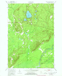
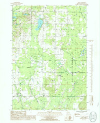
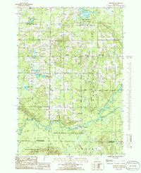
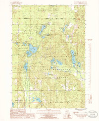
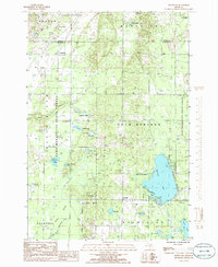
1983 Map of Torch River
USGS Topo · Published 1984This historical map portrays the area of Torch River in 1983, primarily covering Kalkaska County as well as portions of Grand Traverse County and Antrim County. Featuring a scale of 1:24000, this map provides a highly detailed snapshot of the terrain, roads, buildings, counties, and historical landmarks in the Torch River region at the time. Published in 1984, it is the sole known edition of this map.
Find a feature on this map
38 named features on this map. Tap any name to fly to it.
Don’t see what you’re looking for? This feature index may not catch every label — zoom into the map to look around manually.
Map Details
Editions of this 1983 Torch River Map
This is the sole edition of this map. No revisions or reprints were ever made.
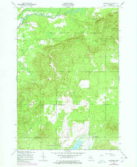
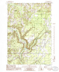
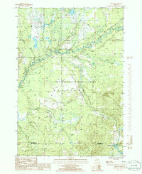
Historical Maps of Grand Traverse County Through Time
10 maps found
1949 Black Creek
Kalkaska County, MI

1949 Fletcher
Kalkaska County, MI
1950 Fletcher
Kalkaska County, MI
1983 Torch River
Kalkaska County, MI
1985 Leetsville
Kalkaska County, MI
1985 Sharon
Kalkaska County, MI
1985 Sigma
Kalkaska County, MI
1985 Smithville
Kalkaska County, MI
1985 Starvation Lake
Kalkaska County, MI
1985 Westwood
Kalkaska County, MI
Featured Locations
- Helena Township, MI
- Milton Township, MI
- Whitewater Township, MI
- Rapid City, Clearwater Township
- Mabel, Whitewater Township