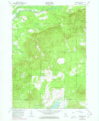
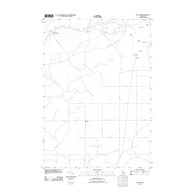
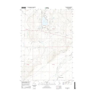
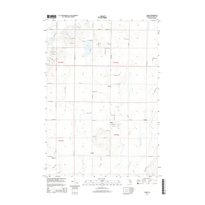
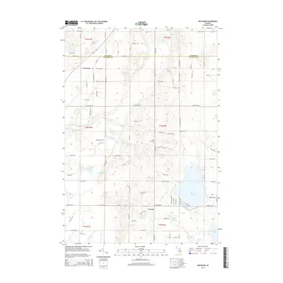
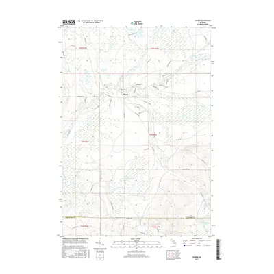
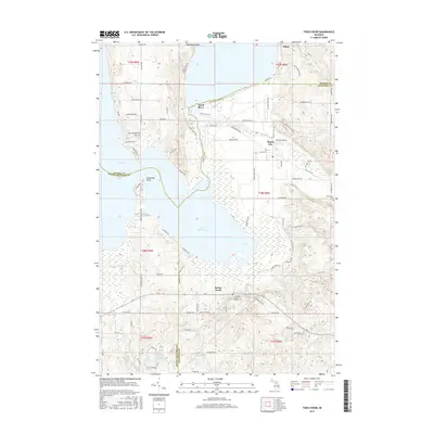
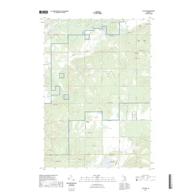
1949 Map of Black Creek
USGS Topo · Published 1978About this map
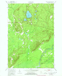
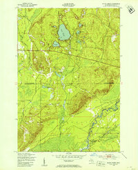
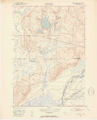
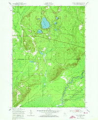
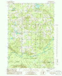
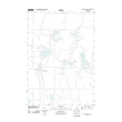
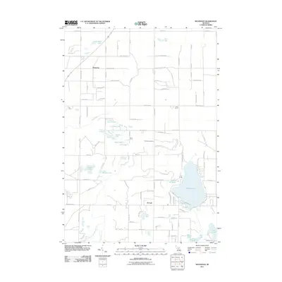
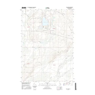
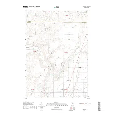
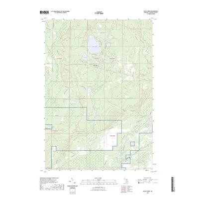
Kalkaska State Forest dominates this northern Michigan landscape, characterized by a series of kettle lakes and a winding river system as documented in 1949 with 1976 revisions. The glacial topography is clearly defined by several water bodies, including the prominent Bear Lake and its neighbors like Johnsons Lake and Cranberry Lake. In the southeast, the Manistee River cuts a deep valley through the terrain, flanked by the Camp Grayling Military Reservation.
Find a feature on this map
18 named features on this map. Tap any name to fly to it.
Don’t see what you’re looking for? This feature index may not catch every label — zoom into the map to look around manually.
Map Details
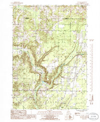
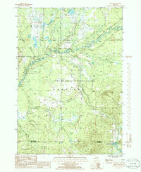
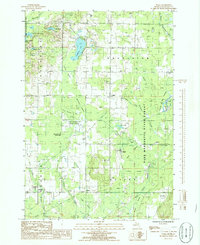
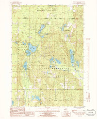
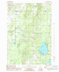
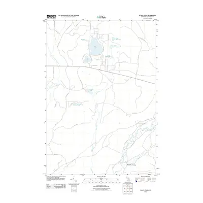
Editions of this 1949 Black Creek Map
4 editions found
Historical Maps of Excelsior Township Through Time
55 maps found
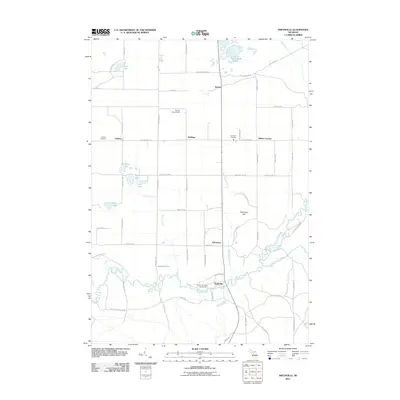
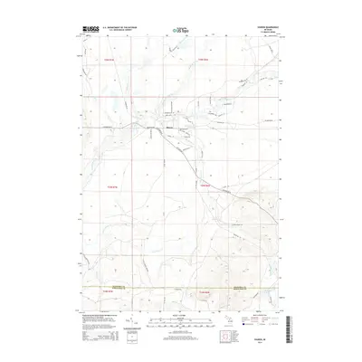
1949 Black Creek
Kalkaska County, MI

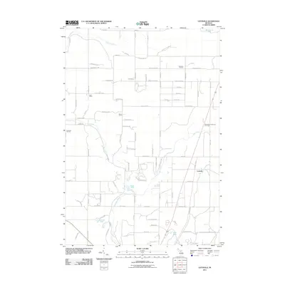
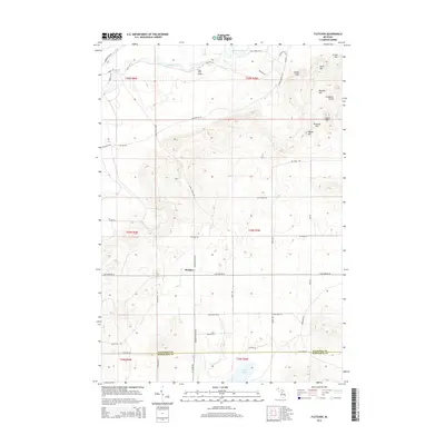
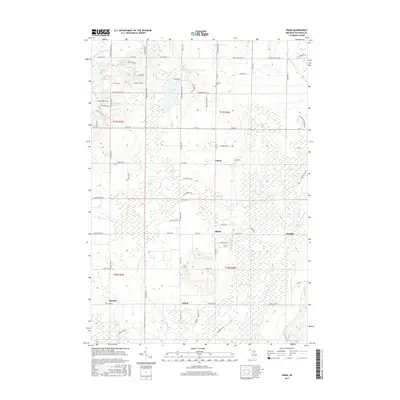
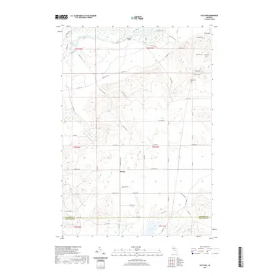
1949 Fletcher
Kalkaska County, MI
1950 Fletcher
Kalkaska County, MI

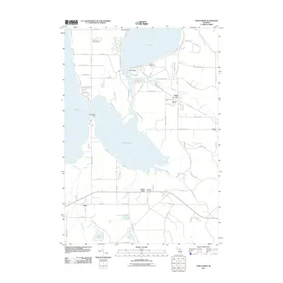
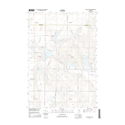
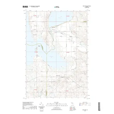
1983 Torch River
Kalkaska County, MI
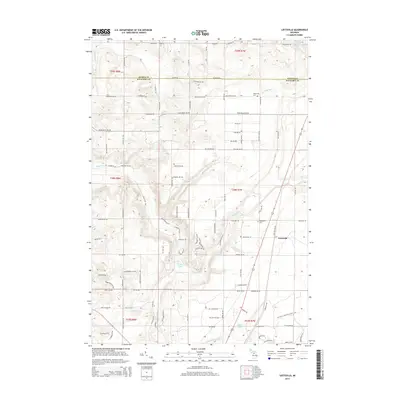
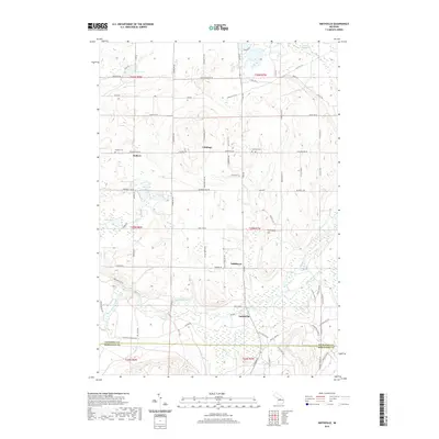
1985 Leetsville
Kalkaska County, MI
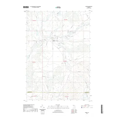
1985 Sharon
Kalkaska County, MI
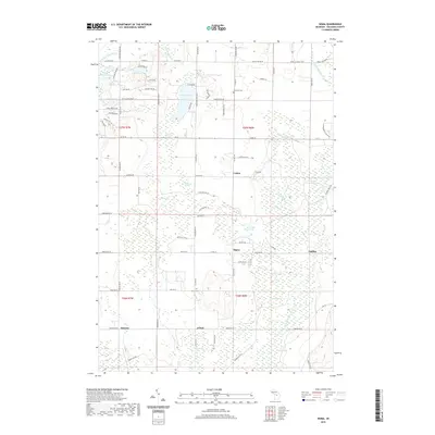
1985 Sigma
Kalkaska County, MI
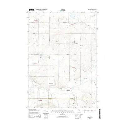
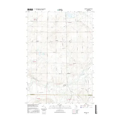
1985 Smithville
Kalkaska County, MI
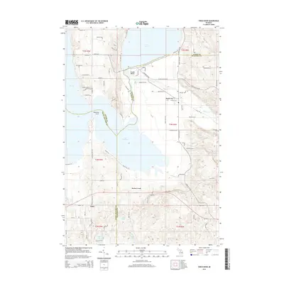
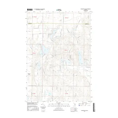
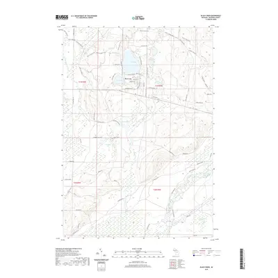
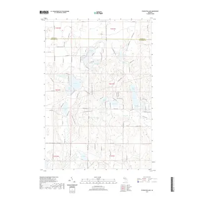
1985 Starvation Lake
Kalkaska County, MI
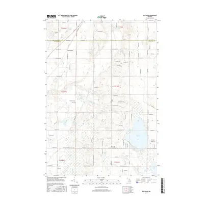
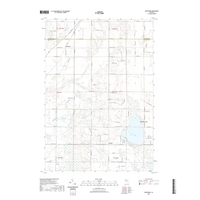
1985 Westwood
Kalkaska County, MI
2011 Black Creek
Kalkaska County, MI
2011 Fletcher
Kalkaska County, MI
2011 Leetsville
Kalkaska County, MI
2011 Sharon
Kalkaska County, MI
2011 Sigma
Kalkaska County, MI
2011 Smithville
Kalkaska County, MI
2011 Starvation Lake
Kalkaska County, MI
2011 Torch River
Kalkaska County, MI
2011 Westwood
Kalkaska County, MI
2014 Black Creek
Kalkaska County, MI
2014 Fletcher
Kalkaska County, MI
2014 Leetsville
Kalkaska County, MI
2014 Sharon
Kalkaska County, MI
2014 Sigma
Kalkaska County, MI
2014 Smithville
Kalkaska County, MI
2014 Starvation Lake
Kalkaska County, MI
2014 Torch River
Kalkaska County, MI
2014 Westwood
Kalkaska County, MI
2017 Black Creek
Kalkaska County, MI
2017 Fletcher
Kalkaska County, MI
2017 Leetsville
Kalkaska County, MI
2017 Sharon
Kalkaska County, MI
2017 Sigma
Kalkaska County, MI
2017 Smithville
Kalkaska County, MI
2017 Starvation Lake
Kalkaska County, MI
2017 Torch River
Kalkaska County, MI
2017 Westwood
Kalkaska County, MI
2019 Black Creek
Kalkaska County, MI
2019 Fletcher
Kalkaska County, MI
2019 Leetsville
Kalkaska County, MI
2019 Sharon
Kalkaska County, MI
2019 Sigma
Kalkaska County, MI
2019 Smithville
Kalkaska County, MI
2019 Starvation Lake
Kalkaska County, MI
2019 Torch River
Kalkaska County, MI
2019 Westwood
Kalkaska County, MI
2023 Black Creek
Kalkaska County, MI
2023 Fletcher
Kalkaska County, MI
2023 Leetsville
Kalkaska County, MI
2023 Sharon
Kalkaska County, MI
2023 Sigma
Kalkaska County, MI
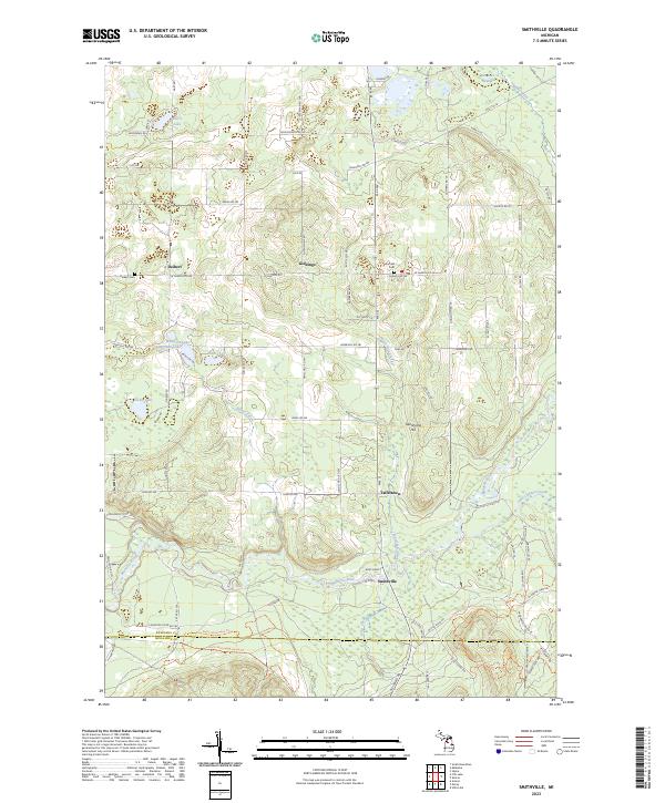
2023 Smithville
Kalkaska County, MI
2023 Starvation Lake
Kalkaska County, MI
2023 Torch River
Kalkaska County, MI
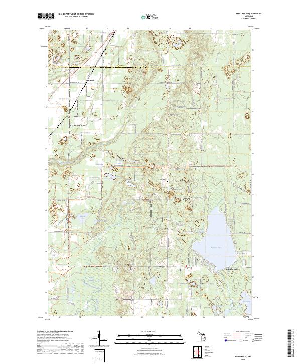
2023 Westwood
Kalkaska County, MI
Featured Locations
- Kalkaska County, MI
- Bear Lake Township, MI
- Excelsior Township, MI
- Oliver Township, MI
- Pemberthy Crossing, Bear Lake Township