
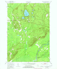
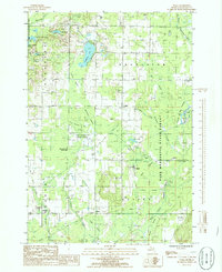
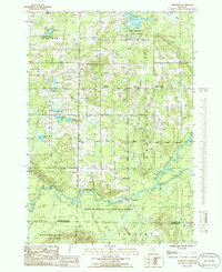
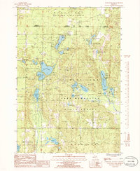
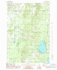
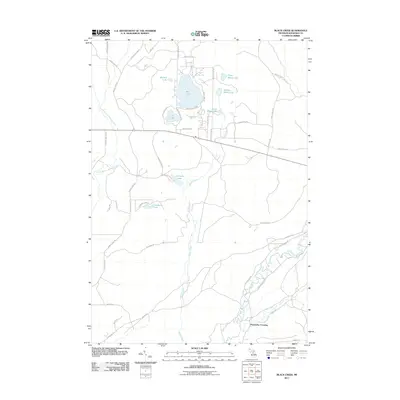
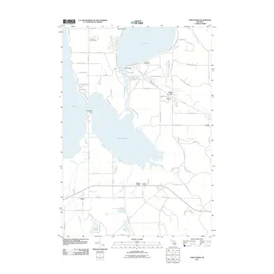
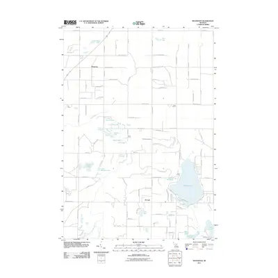
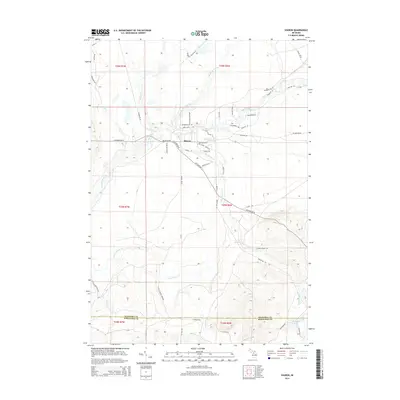
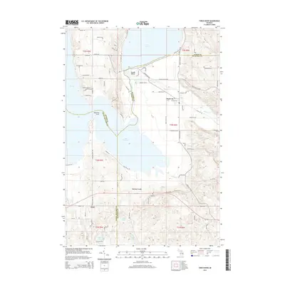
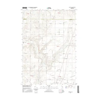
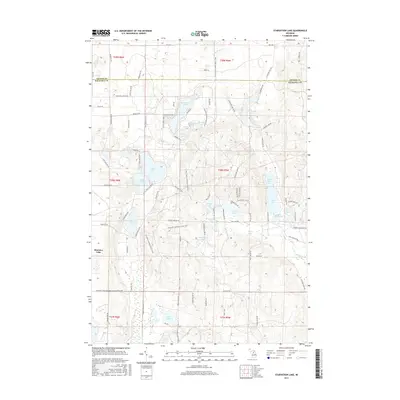
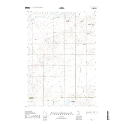
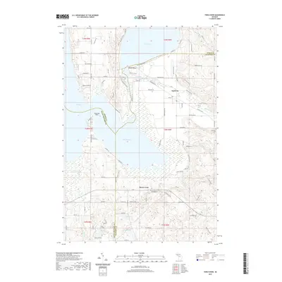
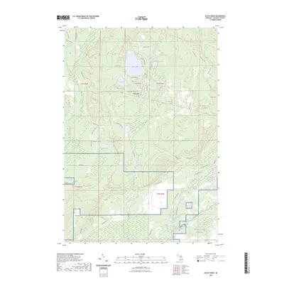
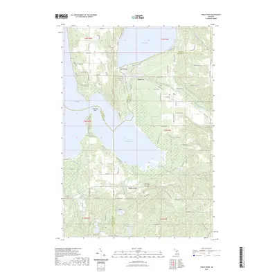
1983 Map of Torch River
USGS Topo · Published 1984About this map
Torch Lake and Skegemog Lake dominate this Northern Michigan landscape, connected by the winding Torch River. The 1983 survey captures a transition zone where the waters of Elk Lake meet the wooded expanses of the Pere Marquette State Forest. The settlement of Rapid City serves as a local hub near the confluence of the Rapid River and Torch River, while smaller nodes like Mabel and the St Mary Cem provide critical touchpoints for genealogists tracing family histories in Whitewater and Kalkaska townships. The map details a network of rural routes including Morrison Road and Wilhelm Road that navigate the varied terrain between the shorelines and the forest interior. These paths, alongside landmarks like the Clearwater Chapel, reflect the established community structure of the early 1980s before significant modern development altered the local character.
Find a feature on this map
38 named features on this map. Tap any name to fly to it.
Don’t see what you’re looking for? This feature index may not catch every label — zoom into the map to look around manually.
Map Details
Editions of this 1983 Torch River Map
This is the sole edition of this map. No revisions or reprints were ever made.
Historical Maps of Whitewater Township Through Time
55 maps found
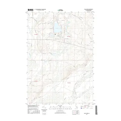
1949 Black Creek
Kalkaska County, MI

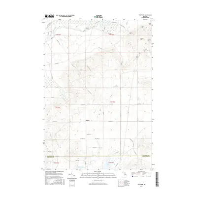
1949 Fletcher
Kalkaska County, MI
1950 Fletcher
Kalkaska County, MI
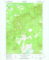
1983 Torch River
Kalkaska County, MI
1985 Leetsville
Kalkaska County, MI
1985 Sharon
Kalkaska County, MI
1985 Sigma
Kalkaska County, MI
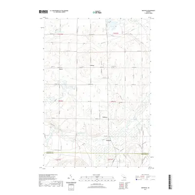
1985 Smithville
Kalkaska County, MI
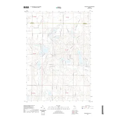
1985 Starvation Lake
Kalkaska County, MI
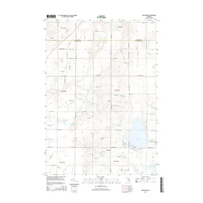
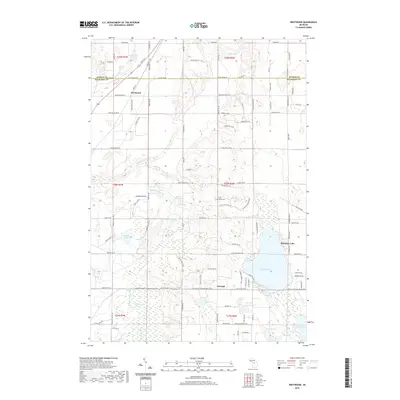
1985 Westwood
Kalkaska County, MI
2011 Black Creek
Kalkaska County, MI
2011 Fletcher
Kalkaska County, MI
2011 Leetsville
Kalkaska County, MI
2011 Sharon
Kalkaska County, MI
2011 Sigma
Kalkaska County, MI
2011 Smithville
Kalkaska County, MI
2011 Starvation Lake
Kalkaska County, MI
2011 Torch River
Kalkaska County, MI
2011 Westwood
Kalkaska County, MI
2014 Black Creek
Kalkaska County, MI
2014 Fletcher
Kalkaska County, MI
2014 Leetsville
Kalkaska County, MI
2014 Sharon
Kalkaska County, MI
2014 Sigma
Kalkaska County, MI
2014 Smithville
Kalkaska County, MI
2014 Starvation Lake
Kalkaska County, MI
2014 Torch River
Kalkaska County, MI
2014 Westwood
Kalkaska County, MI
2017 Black Creek
Kalkaska County, MI
2017 Fletcher
Kalkaska County, MI
2017 Leetsville
Kalkaska County, MI
2017 Sharon
Kalkaska County, MI
2017 Sigma
Kalkaska County, MI
2017 Smithville
Kalkaska County, MI
2017 Starvation Lake
Kalkaska County, MI
2017 Torch River
Kalkaska County, MI
2017 Westwood
Kalkaska County, MI
2019 Black Creek
Kalkaska County, MI
2019 Fletcher
Kalkaska County, MI
2019 Leetsville
Kalkaska County, MI
2019 Sharon
Kalkaska County, MI
2019 Sigma
Kalkaska County, MI
2019 Smithville
Kalkaska County, MI
2019 Starvation Lake
Kalkaska County, MI
2019 Torch River
Kalkaska County, MI
2019 Westwood
Kalkaska County, MI
2023 Black Creek
Kalkaska County, MI
2023 Fletcher
Kalkaska County, MI
2023 Leetsville
Kalkaska County, MI
2023 Sharon
Kalkaska County, MI
2023 Sigma
Kalkaska County, MI
2023 Smithville
Kalkaska County, MI
2023 Starvation Lake
Kalkaska County, MI
2023 Torch River
Kalkaska County, MI
2023 Westwood
Kalkaska County, MI
Featured Locations
- Helena Township, MI
- Milton Township, MI
- Whitewater Township, MI
- Rapid City, Clearwater Township
- Mabel, Whitewater Township