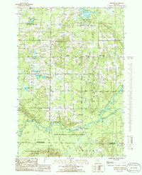
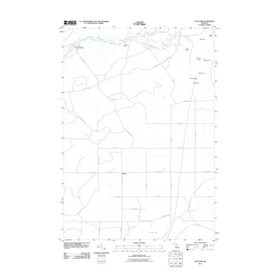
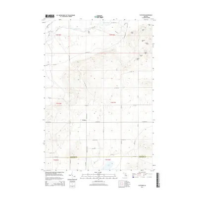
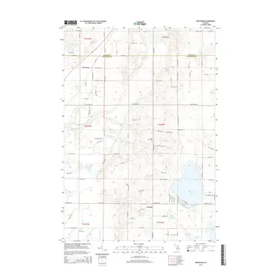
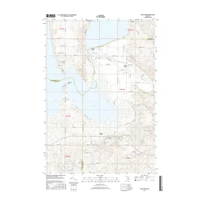
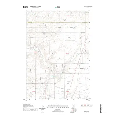
1950 Map of Fletcher
USGS Topo · Published 1978About this map
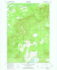
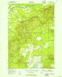
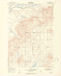
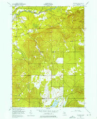
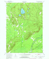
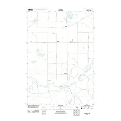
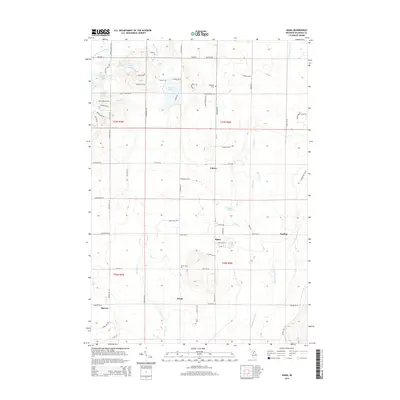
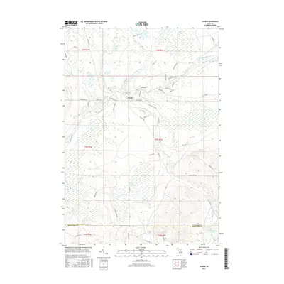
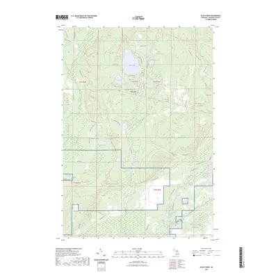
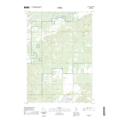
Kalkaska State Forest and Houghton Lake State Forest dominate this mid-century landscape at the boundary of Kalkaska and Missaukee Counties. The Manistee River winds across the northern edge, fed by northern drainage systems like Black Creek and Clear Creek. The area’s character is defined by its transition between public timberlands and the Camp Grayling Military Reservation, where several named peaks like Grube Hills and Ester Hill overlook the training grounds. A small cluster of activity at Fletcher along Fletcher Road provides a focal point for researchers, featuring a labeled site of Ruins that hints at earlier settlement or industry. To the south, the terrain descends toward Grass Lake and the marshy basins of Cannon Creek, illustrating the complex glacial topography and water table that shaped northern Michigan's recreational and military land use during the post-war era.
Find a feature on this map
26 named features on this map. Tap any name to fly to it.
Don’t see what you’re looking for? This feature index may not catch every label — zoom into the map to look around manually.
Map Details
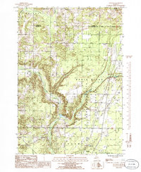
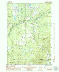
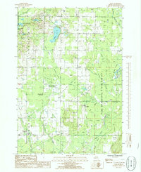
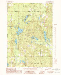
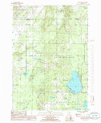
Editions of this 1950 Fletcher Map
4 editions found
Historical Maps of Norwich Township Through Time
55 maps found
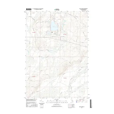
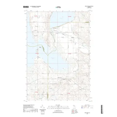
1949 Black Creek
Kalkaska County, MI

1949 Fletcher
Kalkaska County, MI
1950 Fletcher
Kalkaska County, MI

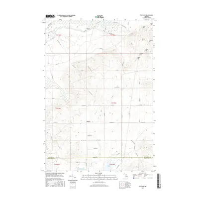
1983 Torch River
Kalkaska County, MI
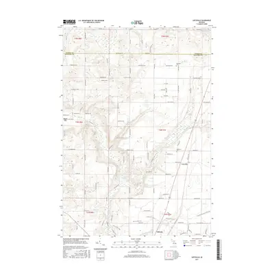
1985 Leetsville
Kalkaska County, MI
1985 Sharon
Kalkaska County, MI
1985 Sigma
Kalkaska County, MI
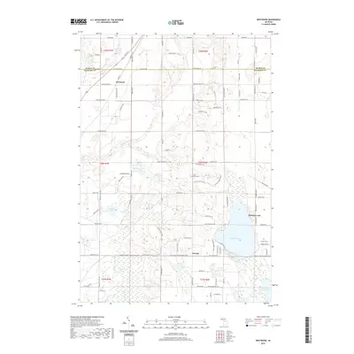
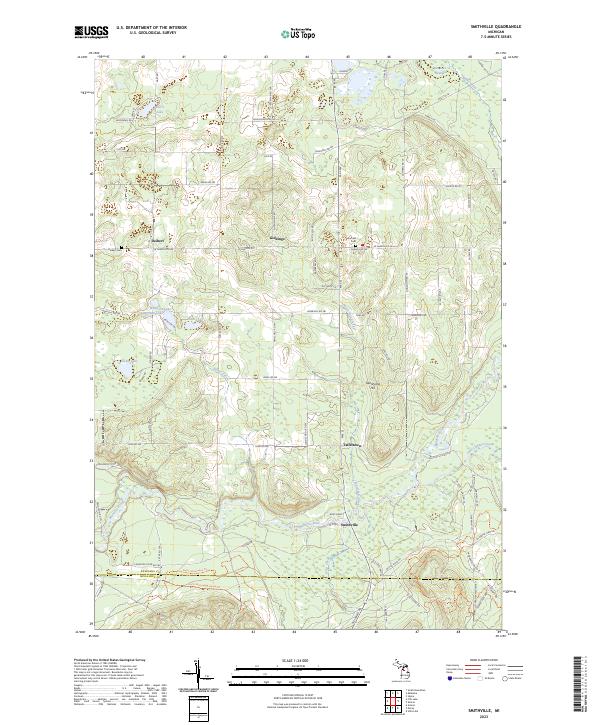
1985 Smithville
Kalkaska County, MI
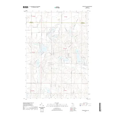
1985 Starvation Lake
Kalkaska County, MI
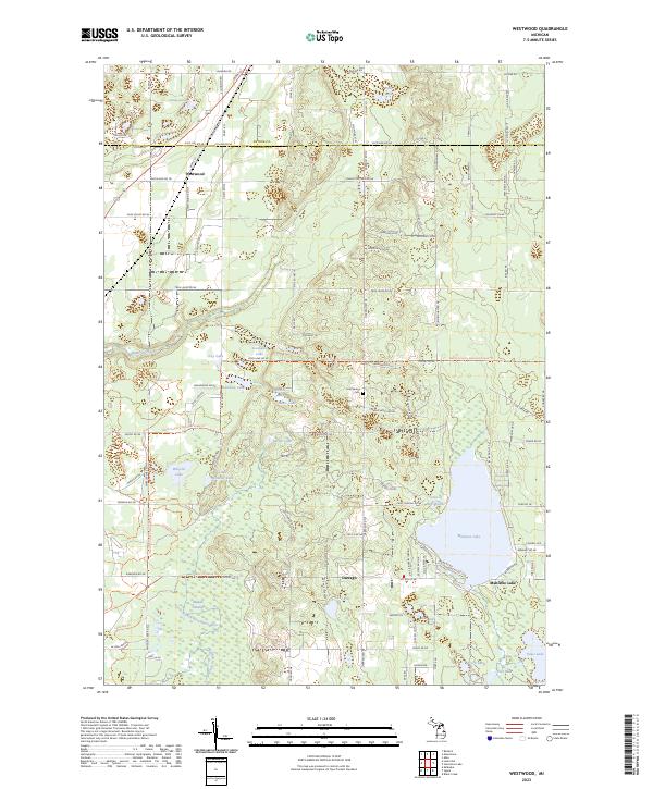
1985 Westwood
Kalkaska County, MI
2011 Black Creek
Kalkaska County, MI
2011 Fletcher
Kalkaska County, MI
2011 Leetsville
Kalkaska County, MI
2011 Sharon
Kalkaska County, MI
2011 Sigma
Kalkaska County, MI
2011 Smithville
Kalkaska County, MI
2011 Starvation Lake
Kalkaska County, MI
2011 Torch River
Kalkaska County, MI
2011 Westwood
Kalkaska County, MI
2014 Black Creek
Kalkaska County, MI
2014 Fletcher
Kalkaska County, MI
2014 Leetsville
Kalkaska County, MI
2014 Sharon
Kalkaska County, MI
2014 Sigma
Kalkaska County, MI
2014 Smithville
Kalkaska County, MI
2014 Starvation Lake
Kalkaska County, MI
2014 Torch River
Kalkaska County, MI
2014 Westwood
Kalkaska County, MI
2017 Black Creek
Kalkaska County, MI
2017 Fletcher
Kalkaska County, MI
2017 Leetsville
Kalkaska County, MI
2017 Sharon
Kalkaska County, MI
2017 Sigma
Kalkaska County, MI
2017 Smithville
Kalkaska County, MI
2017 Starvation Lake
Kalkaska County, MI
2017 Torch River
Kalkaska County, MI
2017 Westwood
Kalkaska County, MI
2019 Black Creek
Kalkaska County, MI
2019 Fletcher
Kalkaska County, MI
2019 Leetsville
Kalkaska County, MI
2019 Sharon
Kalkaska County, MI
2019 Sigma
Kalkaska County, MI
2019 Smithville
Kalkaska County, MI
2019 Starvation Lake
Kalkaska County, MI
2019 Torch River
Kalkaska County, MI
2019 Westwood
Kalkaska County, MI
2023 Black Creek
Kalkaska County, MI
2023 Fletcher
Kalkaska County, MI
2023 Leetsville
Kalkaska County, MI
2023 Sharon
Kalkaska County, MI
2023 Sigma
Kalkaska County, MI
2023 Smithville
Kalkaska County, MI
2023 Starvation Lake
Kalkaska County, MI
2023 Torch River
Kalkaska County, MI
2023 Westwood
Kalkaska County, MI
Featured Locations
- Bear Lake Township, MI
- Garfield Township, MI
- Oliver Township, MI
- Norwich Township, MI
- Fletcher, Garfield Township