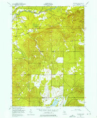
1950 Map of Fletcher
USGS Topo · Published 1976About this map
The Manistee River winds through the northern portion of this landscape, marking a terrain defined by both conservation and military use. Much of the northern half is occupied by the Camp Grayling Military Reservation, where numerous named summits such as Esler Hill, Smith Hill, and Waldo Hill provide high vantage points. The reservation boundary cuts through the Higgins Lake State Forest, illustrating the dual-purpose management of this woodland area during the mid-century.
Find a feature on this map
28 named features on this map. Tap any name to fly to it.
Don’t see what you’re looking for? This feature index may not catch every label — zoom into the map to look around manually.
Map Details
Editions of this 1950 Fletcher Map
4 editions found
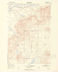
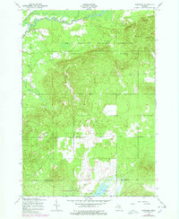
Other maps of this area

1949 · Black Creek
USGS Topo · 1:24,000

1949 · Fletcher
USGS Topo · 1:62,500

1950 · Cote Dame Marie
USGS Topo · 1:24,000

1950 · Fletcher
USGS Topo · 1:24,000

1950 · Lake Margrethe
USGS Topo · 1:24,000

1954 · Traverse City
USGS Topo · 1:250,000

1956 · Kalkaska
USGS Topo · 1:62,500

1956 · Houghton Lake
USGS Topo · 1:62,500

1956 · Lake City
USGS Topo · 1:62,500

1958 · Traverse City
USGS Topo · 1:250,000