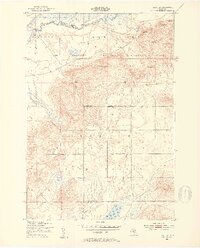
1950 Map of Fletcher
USGS Topo · Published 1953About this map
The Camp Grayling Military Reservation dominates much of this Northern Michigan landscape, which was mapped following aerial surveys in 1949 and field checks in 1950. Located at the intersection of the Kalkaska and Missaukee county lines, the area is defined by the winding course of the Manistee River and the significant presence of the Higgins Lake State Forest. The map captures a moment when rural infrastructure remained relatively sparse, punctuated by the Fletcher Sch and an intriguing cluster of Ruins along Fletcher Road.
Find a feature on this map
26 named features on this map. Tap any name to fly to it.
Don’t see what you’re looking for? This feature index may not catch every label — zoom into the map to look around manually.
Map Details
Editions of this 1950 Fletcher Map
4 editions found
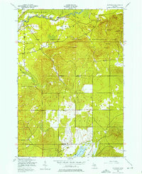
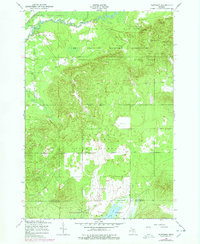
Other maps of this area

1949 · Black Creek
USGS Topo · 1:24,000

1949 · Fletcher
USGS Topo · 1:62,500

1950 · Cote Dame Marie
USGS Topo · 1:24,000

1950 · Fletcher
USGS Topo · 1:24,000

1950 · Lake Margrethe
USGS Topo · 1:24,000

1954 · Traverse City
USGS Topo · 1:250,000

1956 · Kalkaska
USGS Topo · 1:62,500

1956 · Houghton Lake
USGS Topo · 1:62,500

1956 · Lake City
USGS Topo · 1:62,500

1958 · Traverse City
USGS Topo · 1:250,000