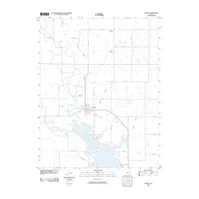
2009 Map of Toronto
USGS Topo · Published 2009About this map
The Toronto townsite serves as the central hub of this Woodson County quadrangle, situated just north of the expansive Toronto Lake. This survey captures the landscape at a time when the Quincy Oil Field defined the industrial character of the northeastern corner, while agricultural life was supported by the winding Verdigris River and its various tributaries like Cedar Creek. Notable landmarks include Camp Ascension and the distinct elevation of Biscuit Mound to the north.
Find a feature on this map
49 named features on this map. Tap any name to fly to it.
Don’t see what you’re looking for? This feature index may not catch every label — zoom into the map to look around manually.
Map Details
Editions of this 2009 Toronto Map
This is the sole edition of this map. No revisions or reprints were ever made.
Other maps of this area

1885 · Eureka
USGS Topo · 1:125,000

1886 · Fredonia
USGS Topo · 1:125,000

1888 · Eureka
USGS Topo · 1:125,000

1894 · Fredonia
USGS Topo · 1:125,000

1894 · Eureka
USGS Topo · 1:125,000

1938 · Fredonia
USGS Topo · 1:62,500

1939 · Fredonia
USGS Topo · 1:48,000

1939 · Severy
USGS Topo · 1:62,500

1941 · Severy
USGS Topo · 1:62,500

1942 · Fredonia
USGS Topo · 1:62,500