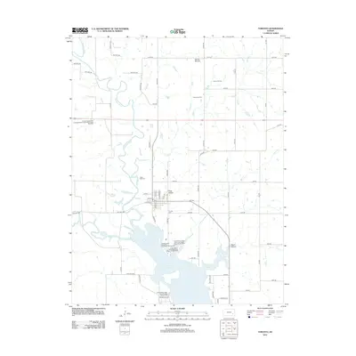
2012 Map of Toronto
USGS Topo · Published 2012About this map
Toronto stands at the heart of this landscape, positioned north of the expansive Toronto Lake and west of the winding Verdigris River. The map details a transition from the agricultural plains of Woodson County to the wooded terrain and water-based geography of the local state parks. Industry is represented to the northeast by the Quincy Oil Field, where a network of section roads like Coyote Rd and 90th Rd provides access to energy resources. Genealogy researchers can locate burial grounds such as Toronto Cem and the more remote Cedar Bluff Cem near the riverbanks.
Find a feature on this map
68 named features on this map. Tap any name to fly to it.
Don’t see what you’re looking for? This feature index may not catch every label — zoom into the map to look around manually.
Map Details
Editions of this 2012 Toronto Map
This is the sole edition of this map. No revisions or reprints were ever made.
Other maps of this area

1885 · Eureka
USGS Topo · 1:125,000

1886 · Fredonia
USGS Topo · 1:125,000

1888 · Eureka
USGS Topo · 1:125,000

1894 · Fredonia
USGS Topo · 1:125,000

1894 · Eureka
USGS Topo · 1:125,000

1938 · Fredonia
USGS Topo · 1:62,500

1939 · Fredonia
USGS Topo · 1:48,000

1939 · Severy
USGS Topo · 1:62,500

1941 · Severy
USGS Topo · 1:62,500

1942 · Fredonia
USGS Topo · 1:62,500