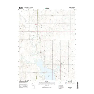
2016 Map of Toronto
USGS Topo · Published 2016About this map
Toronto is situated at the meeting point of the Verdigris River and the expansive Toronto Lake, marking a landscape where water management and topography define the local character. This 2016 survey highlights the town's position on the Greenwood and Woodson County line, surrounded by several prominent drainage systems including Cedar Creek, Miller Creek, and Walnut Creek. The terrain is punctuated by notable landmarks such as Biscuit Mound to the north and the deep depressions of Snag Hollow and Negro Hollow to the east. Local heritage is preserved at Cedar Bluff Cemetery and the Toronto Cemetery, which serve as significant sites for genealogical research. The map's detailed road network, including 100th Road and Lakehills Road, illustrates the rural infrastructure connecting these various natural features and small settlements within the Flint Hills region.
Find a feature on this map
42 named features on this map. Tap any name to fly to it.
Don’t see what you’re looking for? This feature index may not catch every label — zoom into the map to look around manually.
Map Details
Editions of this 2016 Toronto Map
This is the sole edition of this map. No revisions or reprints were ever made.
Other maps of this area

1885 · Eureka
USGS Topo · 1:125,000

1886 · Fredonia
USGS Topo · 1:125,000

1888 · Eureka
USGS Topo · 1:125,000

1894 · Fredonia
USGS Topo · 1:125,000

1894 · Eureka
USGS Topo · 1:125,000

1938 · Fredonia
USGS Topo · 1:62,500

1939 · Fredonia
USGS Topo · 1:48,000

1939 · Severy
USGS Topo · 1:62,500

1941 · Severy
USGS Topo · 1:62,500

1942 · Fredonia
USGS Topo · 1:62,500