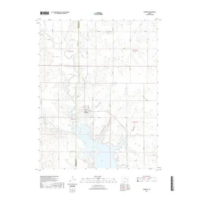
2018 Map of Toronto
USGS Topo · Published 2018About this map
Toronto stands at the heart of this landscape, positioned just north of the expansive Toronto Lake. The town is framed by the Verdigris River and its various tributaries, including Cedar Creek and Brazil Creek, which define the local drainage patterns. This modern topographic record reflects a landscape where the natural hydrology of the Woodson and Greenwood county line has been transformed by the reservoir, creating an intricate shoreline of coves and inlets.
Find a feature on this map
59 named features on this map. Tap any name to fly to it.
Don’t see what you’re looking for? This feature index may not catch every label — zoom into the map to look around manually.
Map Details
Editions of this 2018 Toronto Map
This is the sole edition of this map. No revisions or reprints were ever made.
Other maps of this area

1885 · Eureka
USGS Topo · 1:125,000

1886 · Fredonia
USGS Topo · 1:125,000

1888 · Eureka
USGS Topo · 1:125,000

1894 · Fredonia
USGS Topo · 1:125,000

1894 · Eureka
USGS Topo · 1:125,000

1938 · Fredonia
USGS Topo · 1:62,500

1939 · Fredonia
USGS Topo · 1:48,000

1939 · Severy
USGS Topo · 1:62,500

1941 · Severy
USGS Topo · 1:62,500

1942 · Fredonia
USGS Topo · 1:62,500