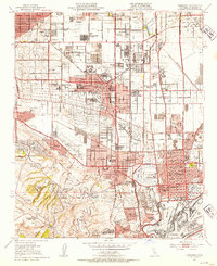
1951 Map of Torrance
USGS Topo · Published 1953About this map
Torrance stands as an industrial and residential hub in the South Bay during this early 1950s survey. The landscape is defined by the extensive Torrance Oil Field and Wilmington Oil Field, with numerous oil tanks and wells dotting the landscape between Southwest Village and Wilmington. Significant industrial infrastructure is evident at the Steel Mill near Dolanco Junction, while the post-war housing boom is represented by planned developments like Avalon Village and Banning Homes.
Find a feature on this map
81 named features on this map. Tap any name to fly to it.
Don’t see what you’re looking for? This feature index may not catch every label — zoom into the map to look around manually.
Map Details
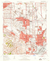
Editions of this 1951 Torrance Map
2 editions found
Other maps of this area

1896 · Redondo
USGS Topo · 1:62,500

1896 · Las Bolsas
USGS Topo · 1:62,500

1896 · San Pedro
USGS Topo · 1:62,500

1896 · Downey
USGS Topo · 1:62,500

1899 · Downey
USGS Topo · 1:62,500

1901 · Southern California Sheet No. 1
USGS Topo · 1:250,000

1902 · Downey
USGS Topo · 1:62,500

1904 · Southern California Sheet No. 1
USGS Topo · 1:250,000

1923 · Wilmington
USGS Topo · 1:24,000

1924 · Torrance
USGS Topo · 1:24,000