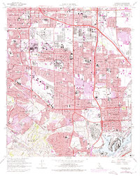
1964 Map of Torrance
USGS Topo · Published 1975About this map
Torrance stands as a massive industrial and residential center in the mid-1960s, defined by its extensive Oil Refinery infrastructure and a grid of major transit corridors like the San Diego Freeway and Harbor Freeway. The landscape reveals a complex network of industrial rail lines, including the Atchison Topeka and Santa Fe and the Harbor Belt Line, which connect the inland manufacturing zones to the maritime hubs of the West Basin and Turning Basin. Purple overprint revisions from 1972 document the rapid urban expansion into the southern Palos Verdes Hills. To the south, the U S Naval Reservation and Green Hills Memorial Park (Cemetery) provide a buffer between the dense residential neighborhoods of Lomita and the active port facilities of Wilmington and Los Angeles.
Find a feature on this map
72 named features on this map. Tap any name to fly to it.
Don’t see what you’re looking for? This feature index may not catch every label — zoom into the map to look around manually.
Map Details
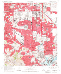
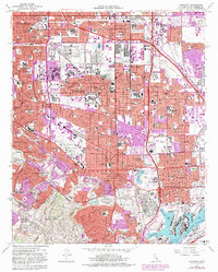
Editions of this 1964 Torrance Map
3 editions found
Other maps of this area

1896 · Redondo
USGS Topo · 1:62,500

1896 · Las Bolsas
USGS Topo · 1:62,500

1896 · San Pedro
USGS Topo · 1:62,500

1896 · Downey
USGS Topo · 1:62,500

1899 · Downey
USGS Topo · 1:62,500

1901 · Southern California Sheet No. 1
USGS Topo · 1:250,000

1902 · Downey
USGS Topo · 1:62,500

1904 · Southern California Sheet No. 1
USGS Topo · 1:250,000

1923 · Wilmington
USGS Topo · 1:24,000

1924 · Torrance
USGS Topo · 1:24,000