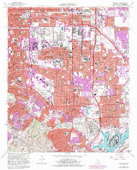
1964 Map of Torrance
USGS Topo · Published 1982About this map
Oil field and oil refinery infrastructure dominate the central landscape of this Los Angeles County survey, reflecting the industrial character of the mid-1960s before the rapid suburban expansion of the 1970s. The map captures the complex interaction between industrial zones and established neighborhoods like Torrance, Wilmington, and Lomita. In the south, the northern slopes of the Palos Verdes Hills provide a sharp contrast to the dense grid of the harbor district, where the West Basin and Southwest Slip anchor the maritime economy.
Find a feature on this map
66 named features on this map. Tap any name to fly to it.
Don’t see what you’re looking for? This feature index may not catch every label — zoom into the map to look around manually.
Map Details
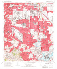
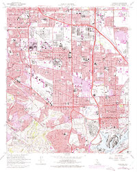
Editions of this 1964 Torrance Map
3 editions found
Other maps of this area

1896 · Redondo
USGS Topo · 1:62,500

1896 · Las Bolsas
USGS Topo · 1:62,500

1896 · San Pedro
USGS Topo · 1:62,500

1896 · Downey
USGS Topo · 1:62,500

1899 · Downey
USGS Topo · 1:62,500

1901 · Southern California Sheet No. 1
USGS Topo · 1:250,000

1902 · Downey
USGS Topo · 1:62,500

1904 · Southern California Sheet No. 1
USGS Topo · 1:250,000

1923 · Wilmington
USGS Topo · 1:24,000

1924 · Torrance
USGS Topo · 1:24,000