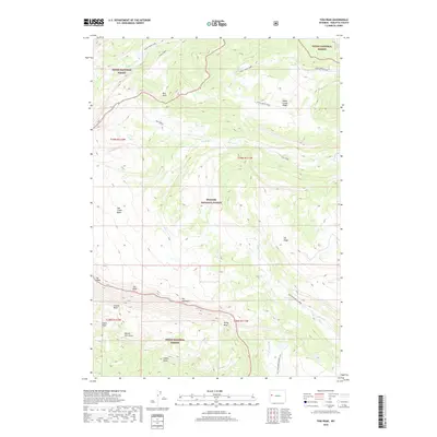
2018 Map of Tosi Peak
USGS Topo · Published 2018About this map
Tosi Peak and the sharp ridgeline of The Sawtooth define the high-altitude landscape of this Wyoming quadrangle, where the Teton National Forest meets the Bridger National Forest. The geography is characterized by dramatic drainage systems, including Beaver Dam Draw, Rocky Draw, and Elbow Draw, which flow toward major watercourses like Tosi Creek and Clear Creek.
Find a feature on this map
28 named features on this map. Tap any name to fly to it.
Don’t see what you’re looking for? This feature index may not catch every label — zoom into the map to look around manually.
Map Details
Editions of this 2018 Tosi Peak Map
This is the sole edition of this map. No revisions or reprints were ever made.
Other maps of this area

1907 · Gros Ventre
USGS Topo · 1:125,000

1910 · Gros Ventre
USGS Topo · 1:125,000

1955 · Driggs
USGS Topo · 1:250,000

1958 · Driggs
USGS Topo · 1:250,000

1962 · Driggs
USGS Topo · 1:250,000
1966 · Pass Peak
USGS Topo · 1:24,000
1966 · Dodge Butte
USGS Topo · 1:24,000
1967 · Tosi Peak
USGS Topo · 1:24,000
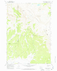
1967 · Doubletop Peak
USGS Topo · 1:24,000
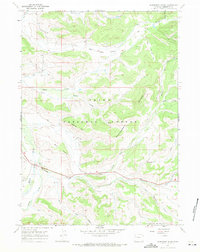
1967 · Raspberry Ridge
USGS Topo · 1:24,000