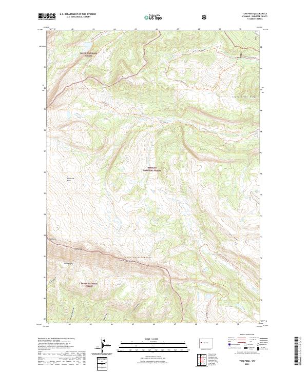
2021 Map of Tosi Peak
USGS Topo · Published 2021About this map
Tosi Peak serves as a central landmark within the high-elevation landscape of the Gros Ventre Range in Sublette County. This area, shared between Teton National Forest and Bridger National Forest, is defined by its complex drainage systems and dramatic ridgelines. The northern reaches are marked by the Red Hills and Tepee Creek Ridge, while the southern terrain drops into Coyote Basin and is cut by numerous draws including Beaver Dam Draw and Rocky Draw. A network of trails, such as the Tosi Creek Trl and Tepee Creek Loop Trl, indicates the long-standing use of these passes for forest access. Distinctive geological formations like The Sawtooth and The Elbow provide specific orientation points for understanding the topographical layout of this part of the Wyoming backcountry.
Find a feature on this map
29 named features on this map. Tap any name to fly to it.
Don’t see what you’re looking for? This feature index may not catch every label — zoom into the map to look around manually.
Map Details
Editions of this 2021 Tosi Peak Map
This is the sole edition of this map. No revisions or reprints were ever made.
Other maps of this area

1907 · Gros Ventre
USGS Topo · 1:125,000

1910 · Gros Ventre
USGS Topo · 1:125,000

1955 · Driggs
USGS Topo · 1:250,000

1958 · Driggs
USGS Topo · 1:250,000

1962 · Driggs
USGS Topo · 1:250,000
1966 · Pass Peak
USGS Topo · 1:24,000
1966 · Dodge Butte
USGS Topo · 1:24,000
1967 · Tosi Peak
USGS Topo · 1:24,000
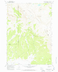
1967 · Doubletop Peak
USGS Topo · 1:24,000
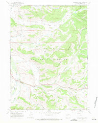
1967 · Raspberry Ridge
USGS Topo · 1:24,000