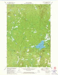
1971 Map of Totagatic Lake
USGS Topo · Published 1973About this map
Totagatic Lake State Wildlife Management Area and the Chequamegon National Forest dominate this north-central Wisconsin landscape at the border of Bayfield and Sawyer counties. The area is defined by its complex network of glacial wetlands and water bodies, including the Totagatic Lake itself and the winding Totagatic River. Evidence of early 1970s land management and conservation is visible through the designated wildlife zones and forest boundaries.
Find a feature on this map
19 named features on this map. Tap any name to fly to it.
Don’t see what you’re looking for? This feature index may not catch every label — zoom into the map to look around manually.
Map Details
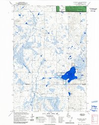
Editions of this 1971 Totagatic Lake Map
2 editions found
Other maps of this area

1944 · Drummond
USGS Topo · 1:48,000

1944 · Hayward
USGS Topo · 1:48,000

1945 · Highland
USGS Topo · 1:48,000

1947 · Drummond
USGS Topo · 1:48,000

1947 · Chittamo
USGS Topo · 1:48,000

1949 · Chittamo
USGS Topo · 1:48,000

1949 · Highland
USGS Topo · 1:48,000

1953 · Ashland
USGS Topo · 1:250,000

1958 · Ashland
USGS Topo · 1:250,000
1961 · Ellison Lake
USGS Topo · 1:62,500