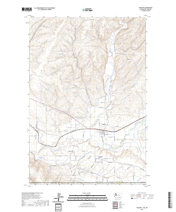
2023 Map of Touchet
USGS Topo · Published 2023About this map
The Walla Walla Valley serves as a lush corridor where the Touchet River and Walla Walla River converge, supporting an intricate network of irrigation infrastructure. Settlement is concentrated around Touchet and Gardena, where local commerce is historically tied to the surrounding agricultural landscape. The presence of the Po in Touchet underscores the community's role as a local hub. The valley's water management is remarkably detailed, featuring the Touchet West Side Ditch, Touchet East Side Ditch, Gardena Ditch, and South Ditch, which channel water across the floor of the valley.
Find a feature on this map
65 named features on this map. Tap any name to fly to it.
Don’t see what you’re looking for? This feature index may not catch every label — zoom into the map to look around manually.
Map Details
Editions of this 2023 Touchet Map
This is the sole edition of this map. No revisions or reprints were ever made.
Other maps of this area

1915 · Wallulah
USGS Topo · 1:96,000

1918 · Wallula
USGS Topo · 1:125,000

1935 · Pendleton
USGS Topo · 1:125,000

1953 · Pendleton
USGS Topo · 1:250,000

1953 · Walla Walla
USGS Topo · 1:250,000

1956 · Pendleton
USGS Topo · 1:250,000

1958 · Walla Walla
USGS Topo · 1:250,000

1964 · Zangar Junction
USGS Topo · 1:24,000

1964 · Slater
USGS Topo · 1:24,000
1966 · Smeltz
USGS Topo · 1:24,000