
1893 Map of Toulme
USGS Topo · Published 1893About this map
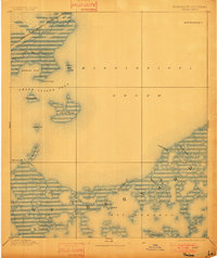
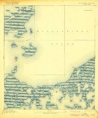
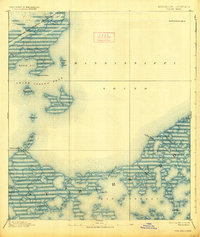
Toulme stands as a small settlement along the corridor of the Louisville and Nashville Railroad in this late nineteenth-century mapping of the coastal marshlands. The landscape is defined by the expansive waters of the Mississippi Sound and a complex network of coastal features, including Grand Island Pass and the isolated heights of Grand Island.
Find a feature on this map
26 named features on this map. Tap any name to fly to it.
Don’t see what you’re looking for? This feature index may not catch every label — zoom into the map to look around manually.
Map Details
Editions of this 1893 Toulme Map
4 editions found
Other maps of this area

1893 · Cat Island
USGS Topo · 1:62,500

1893 · Rigolets
USGS Topo · 1:62,500

1893 · Chandeleur
USGS Topo · 1:62,500

1893 · Shell Beach
USGS Topo · 1:62,500

1895 · Bodreau
USGS Topo · 1:62,500

1914 · Nicholson
USGS Topo · 1:62,500

1921 · Nicholson
USGS Topo · 1:62,500

1935 · English Lookout
USGS Topo · 1:31,680

1935 · Grand Island Pass
USGS Topo · 1:31,680

1935 · Mitchell Keys
USGS Topo · 1:31,680