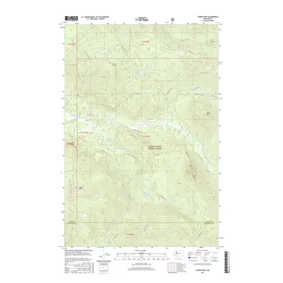
2017 Map of Tower Rock
USGS Topo · Published 2017About this map
The Cispus River carves a deep valley through the heart of the Gifford Pinchot National Forest, defining the geography of this mountain landscape. Towering landmarks such as Tower Rock and the Tower Rock Beaver Ponds sit at the center of a complex drainage system where the N Fork Cispus River and Yellowjacket Cr converge. High peaks including Lone Tree Mtn, Bishop Mtn, and Burley Mtn surround the river basin, providing a topographical profile of the southern Cascades in the early 21st century.
Find a feature on this map
47 named features on this map. Tap any name to fly to it.
Don’t see what you’re looking for? This feature index may not catch every label — zoom into the map to look around manually.
Map Details
Editions of this 2017 Tower Rock Map
This is the sole edition of this map. No revisions or reprints were ever made.
Other maps of this area

1924 · Mt Rainier
USGS Topo · 1:96,000

1926 · Steamboat Mtn
USGS Topo · 1:125,000

1928 · Mt Rainier
USGS Topo · 1:125,000

1931 · Steamboat Mtn
USGS Topo · 1:125,000

1950 · Yakima
USGS Topo · 1:250,000

1958 · Yakima
USGS Topo · 1:250,000

1961 · Yakima
USGS Topo · 1:250,000

1962 · Randle
USGS Topo · 1:62,500

1962 · Packwood
USGS Topo · 1:62,500
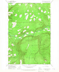
1965 · Greenhorn Buttes
USGS Topo · 1:24,000