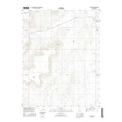
2017 Map of Town Point
USGS Topo · Published 2017About this map
North Caineville Mesa and South Caineville Mesa dominate the northern landscape of this region, standing as prominent geological sentinels above the winding Fremont River. The terrain is defined by dramatic elevation changes, where the high plateau of Town Point drops toward the Blue Gate and the intricate drainage networks of Sweetwater Cr and Cedar Cr. This 2017 survey details the essential transit and water infrastructure of the area, featuring the long-standing route from Moab to Boulder Town and the Water Line Rd threading through the eastern reaches.
Find a feature on this map
23 named features on this map. Tap any name to fly to it.
Don’t see what you’re looking for? This feature index may not catch every label — zoom into the map to look around manually.
Map Details
Editions of this 2017 Town Point Map
This is the sole edition of this map. No revisions or reprints were ever made.
Other maps of this area

1885 · San Rafael
USGS Topo · 1:250,000

1885 · Fish Lake
USGS Topo · 1:250,000

1896 · Fish Lake
USGS Topo · 1:250,000

1952 · Notom 4 NE
USGS Topo · 1:24,000

1952 · Notom
USGS Topo · 1:62,500

1954 · Mt. Ellen 2 SE
USGS Topo · 1:24,000

1954 · Mt. Ellen 2 SW
USGS Topo · 1:24,000

1954 · Mt. Ellen 2 NE
USGS Topo · 1:24,000

1954 · Mt. Ellen 2 NW
USGS Topo · 1:24,000

1954 · Notom 1 NE
USGS Topo · 1:24,000