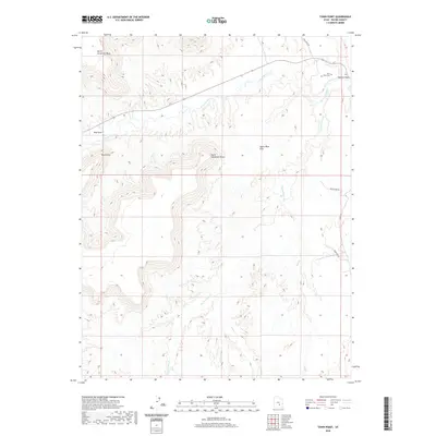
2020 Map of Town Point
USGS Topo · Published 2020About this map
The Fremont River carves through the central portion of this landscape, defining the topography between massive landforms like North Caineville Mesa and South Caineville Mesa. The settlement pattern is sparse, concentrated primarily at Town Point and the nearby Blue Gate. This area reflects a remote western interior where geography dictates human activity, centered around water sources like Sweetwater Cr and Oak Cr. The presence of the Town Point Cem near the river's bend provides a specific point of interest for genealogists tracing local families. A network of functional routes, including Coal Mine Rd and Water Line Rd, suggests an economy tied to resource management and utility access across the Upper Blue Hills.
Find a feature on this map
16 named features on this map. Tap any name to fly to it.
Don’t see what you’re looking for? This feature index may not catch every label — zoom into the map to look around manually.
Map Details
Editions of this 2020 Town Point Map
This is the sole edition of this map. No revisions or reprints were ever made.
Other maps of this area

1885 · San Rafael
USGS Topo · 1:250,000

1885 · Fish Lake
USGS Topo · 1:250,000

1896 · Fish Lake
USGS Topo · 1:250,000

1952 · Notom 4 NE
USGS Topo · 1:24,000

1952 · Notom
USGS Topo · 1:62,500

1954 · Mt. Ellen 2 SE
USGS Topo · 1:24,000

1954 · Mt. Ellen 2 SW
USGS Topo · 1:24,000

1954 · Mt. Ellen 2 NE
USGS Topo · 1:24,000

1954 · Mt. Ellen 2 NW
USGS Topo · 1:24,000

1954 · Notom 1 NE
USGS Topo · 1:24,000