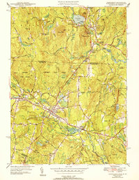
1944 Map of Townsend
USGS Topo · Published 1952About this map
The Squannacook River and the Boston and Maine railroad corridor define the industrial and civic heart of this mid-century landscape. Centered on Townsend, the area shows a cluster of community institutions including Townsend High School, Riverside Ch, and both Hillside Cem and Highland Cem. To the west and east, West Townsend and Townsend Harbor flank the main settlement, while the Townsend State Forest covers a significant portion of the northern terrain.
Find a feature on this map
61 named features on this map. Tap any name to fly to it.
Don’t see what you’re looking for? This feature index may not catch every label — zoom into the map to look around manually.
Map Details
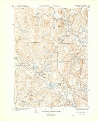
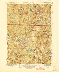
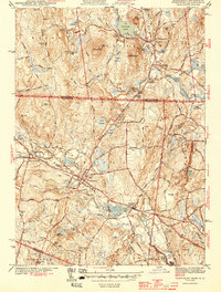
Editions of this 1944 Townsend Map
4 editions found
Other maps of this area

1887 · Fitchburg
USGS Topo · 1:62,500

1889 · Fitchburg
USGS Topo · 1:62,500

1893 · Fitchburg
USGS Topo · 1:62,500

1893 · Groton
USGS Topo · 1:62,500

1900 · Peterboro
USGS Topo · 1:62,500

1906 · Milford
USGS Topo · 1:62,500

1931 · Groton
USGS Topo · 1:48,000

1931 · Fitchburg
USGS Topo · 1:48,000

1935 · Ayer
USGS Topo · 1:24,000

1935 · Groton
USGS Topo · 1:62,500