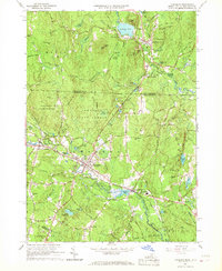
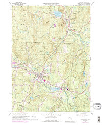
1965 Map of Townsend
USGS Topo · Published 1967About this map
The Squannacook River corridor defines the development of Townsend and its neighboring villages in the mid-1960s. This industrial and residential network is anchored by the Boston and Maine railroad, which parallels the river through West Townsend and Townsend Harbor. The map reveals a landscape where educational and civic institutions like Daniels Academy and Spaulding Mem Sch serve established communities, while the presence of Gravel Pits and a Quarry near Williams Pond point to the local extraction industries of the era.
Find a feature on this map
128 named features on this map. Tap any name to fly to it.
Don’t see what you’re looking for? This feature index may not catch every label — zoom into the map to look around manually.
Map Details
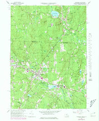
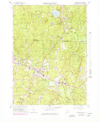
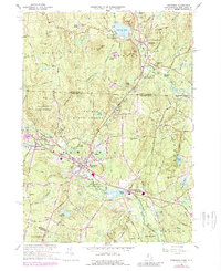
Editions of this 1965 Townsend Map
5 editions found
Other maps of this area

1887 · Fitchburg
USGS Topo · 1:62,500

1889 · Fitchburg
USGS Topo · 1:62,500

1893 · Fitchburg
USGS Topo · 1:62,500

1893 · Groton
USGS Topo · 1:62,500

1900 · Peterboro
USGS Topo · 1:62,500

1906 · Milford
USGS Topo · 1:62,500

1931 · Groton
USGS Topo · 1:48,000

1931 · Fitchburg
USGS Topo · 1:48,000

1935 · Ayer
USGS Topo · 1:24,000

1935 · Groton
USGS Topo · 1:62,500